Thursday, June 3, 2021

Bead Mountain Ranch

 With Mom and Dad in town, Noelle and I had a chance to get out on our own for a hiking date. We decided to stay close to home and check out the nearby Bead Mountain Ranch. We had visited the land previously; an extremely cold and windy day in January of 2020, when Sierra had just started school and Noelle had not gotten her jobs yet. 


For that first trip we hiked up to the summit of the area's namesake, Bead Mountain.

Today, we decided to check out the bluffs to the right of Bead Mountain as you approach it from the parking area. The weather today was pretty much the opposite of what it had been when we last visited; hot and still. As we started our hike, we immediately encountered two snakes. They were very green looking North American racers.

Can you see the snake's head hidden in the grass?

Seeing those two snakes right off the bat, made us a bit nervous about rattlesnakes. We wouldn't see another snake for the entire day. We slowly picked our way to the base of the bluff 


and then started the steep climb.


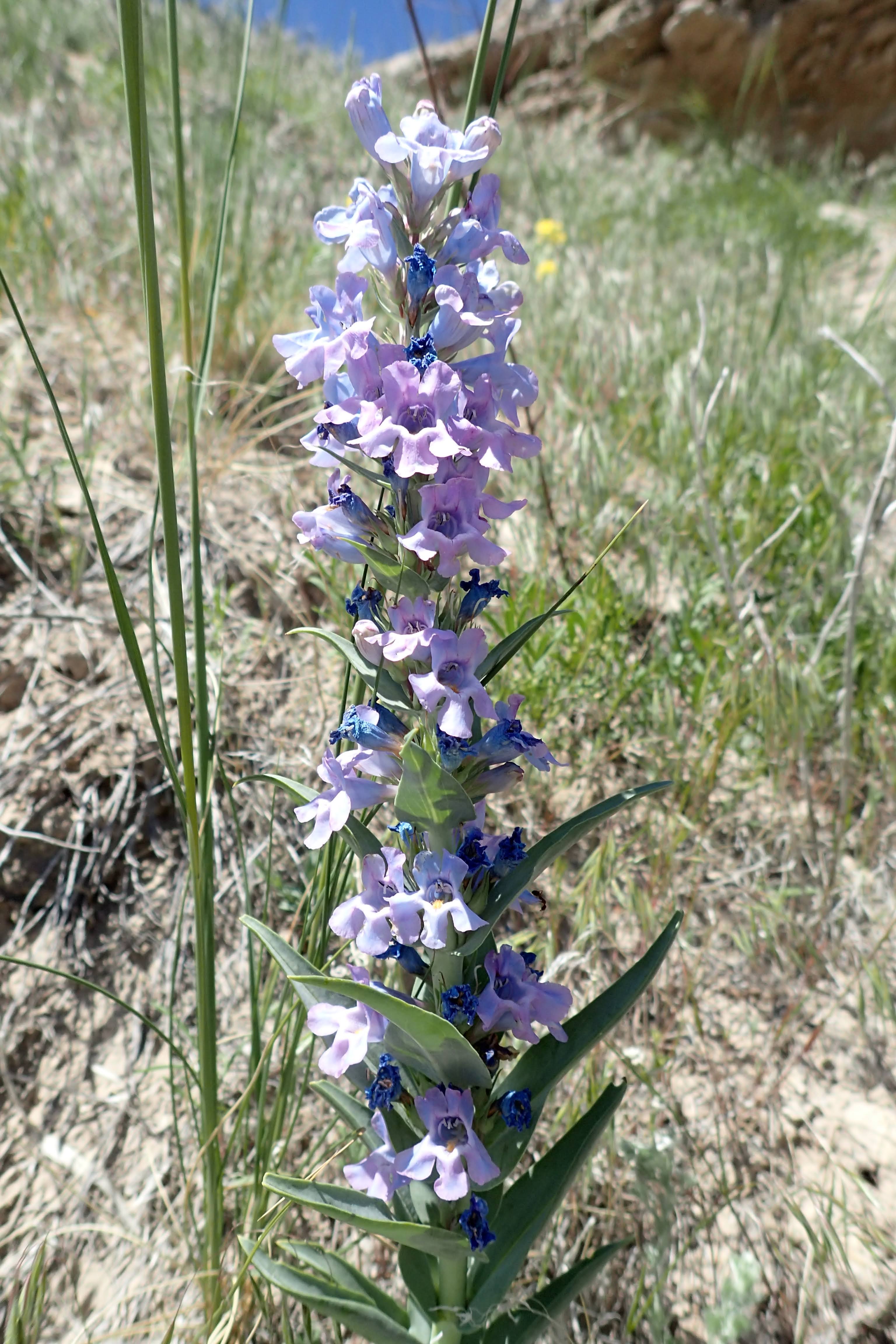
Along the way we saw some wildflowers in bloom.


Once we had attained the top of the ridge, we found a barbed-wire fence. We followed the fence line out to a natural overlook of a chimney rock that I thought looked like a mummy and Noelle thought looked like a hawk.


We decided to have a closer look at Mummy Hawk Rock and so we made our way along the ridge towards the prominent point. 


We found some pieces of an ornate box turtle's shell along the way.


Soon enough, we were at the base of the chimney. 


We enjoyed the view there for a bit and then noticed a stock tank surrounded by a fence in the plains  below. 


We decided to have a closer look and so descended down towards the water.

A closer look at the stock tank revealed that the fence seemed to prevent animals from accessing the water. It seems like a waste, but there must be a reason for the fenced tank.


From the tank, we found a cattle trail that led back towards the car. 


It made for some easy walking and allowed us to enjoy the views of the nearby Bead Mountain.

Sunday, May 23, 2021

Natural Fort

 For years now, when driving the stretch of Interstate 25 between Cheyenne, WY and Fort Collins, CO; I've noticed a really interesting cluster of rocks just south of the Wyoming border. 


I also noticed that a gravel frontage road runs parallel to the interstate at this point and figured there must be a way to use the road to access the rocks. Well today, I finally had an opportunity to check out the rocks. A little research on the internet reveals that they are called the Natural Fort and that the fort was the site of an 1831 battle between Crow and Blackfoot peoples. The fort was also the site of a former rest area. Apparently, the rest area was closed at some point due to vandalism taking place. 

Today, the rocks of the Natural Fort still show signs of vandals. There's lots of graffiti, broken glass and trash. Still, it is an interesting area to stop and have a look around. 


Saturday, May 22, 2021

Roosevelt National Forest: Youngs Gulch Trail

 Sierra had another birthday party to attend today. Since my days off are changing and I only have a one-day weekend, Noelle told me to go have an adventure to myself. I made the drive through cold fog and drizzle and ended up in beautiful 65 degree weather in the Poudre Canyon of Northern Colorado. From there I drove west to the Youngs Gulch Trailhead.

On the drive in I found the Greyrock Trailhead absolutely crammed with cars. Luckily, the Youngs Gulch Trail does not seem to get quite as much use and there was plenty of parking to be found. I quickly gathered my pack and hit the trail with mountain scenery and blue sky.


The trail climbed gently up a hillside and away from the creek that was swollen with snowmelt.


Soon, I made my first crossing of the creek on a substantial bridge.


As I climbed further up the canyon, I noticed lots of spring wildflowers in bloom.


The trail never seemed to steer very far away from the creek, and crossed it many times.


Most of the many stream crossings had a log bridge, or at least an improvised bridge of some type. There were however, two crossings where I couldn't help but get my feet wet. One had a this log stretching across the creek. 


I didn't feel confident enough to use it though. A map of the Youngs Gulch Trail shows that the canyon it follows makes a right hand turn as it ascends into the mountains. I never noticed the turn and so when I reached the very obvious end of the trail, I was a little bit surprised. 


I ate a snack on a log there and drank some water before heading back the way I had come. The trip down the trail offered a different perspective of the mountain scenery.


After I had completed my hike, I made a short drive further up the canyon to check out the Mishawaka. It was packed and so I turned around and stopped at one of the picnic areas along the Cache la Poudre to check out the view before my drive north.


The water in the river was the highest I've seen it and lots of kayakers and rafters were taking advantage of the conditions.

Saturday, May 8, 2021

Eagle's Nest Open Space

 I've been itching to get out with the family for a hike! With nice (but somewhat windy) weather forecast for the day, we decided to make the drive down to the Fort Collins area to hike at Eagle's Nest Open Space. There are two trails there, the 3 Bar Trail and the OT Trail, that together make a 5 mile long figure-8 hike.

The drive was long, but uneventful. It was a bit windy on I-25 in Wyoming as we made our way to the trailhead. Luckily, it was not as windy at the starting point for our hike, just outside the small community of Livermore, Colorado. We hit the trail in a lovely, green valley surrounded by the foothills of the Rocky Mountains. 


Immediately, we could see the area's namesake, Eagle's Nest Rock, in the distance. We followed the trail, which alternately climbed and descended closer and closer to the rock. 


Along the way we saw some wildflowers in bloom, including bluebells. 


Soon, the trail started a descent down towards the North Fork of the Poudre River.


Sierra took a rock climbing break, 


and then we continued our descent.


We saw more flowers blooming on this stretch of trail, including lots of star lily.


At the river, we stopped to take a break on some benches. Sierra took a "nap".


We all ate a quick snack and drank some water.

Rosie took a quick dip in the river, 

then we crossed the river on a footbridge before starting an ascent.


The next section of trail featured lots of great views of Eagle's Nest Rock.


We climbed to a ridge, passed a lone ponderosa pine,


and then started to make our way back to the car.


When we had made it back to the river crossing, we arrived to see a pair of rafters floating downstream.


The last section of trail followed an old road through a herd of cattle. Rosie was very curious about the bovines.