Wednesday, October 26, 2022

Scotts Bluff National Monument: The Oregon Trail Route

 I wanted to get out and do some exploring today, but the weather was forecast to be a bit iffy in Colorado. Instead of making a long drive, I opted to stay closer to home to hike the portion of the route of the Oregon/California Trail that passes through Scotts Bluff National Monument. I made the short drive out to the monument and parked at the east entrance. I followed the boundary fence a short distance south and quickly picked found the first trail marker. 


 would follow similar trail markers through the rest of the monument.

As I traveled west it was obvious that fall is coming to a close and that winter will soon be here. Frost coated some of the grasses and shrubs that I traveled past.


For a short distance I was unable to find any trail markers, but basically stayed close to the road as I passed Dome Rock and headed towards Mitchell Pass.

I crossed the to the north side of the road near the visitor center and walked the short section of the trail that is maintained for visitor use.

Once I had left the site of William Henry Jackson's 1866 campsite, the hiking became more difficult. I would look back every now and then to check out the view behind me.


The trail was easy to follow in some areas. In other areas, I lost it completely. Towards the western boundary of the monument, I got completely off trail. I followed the boundary fence north and finally found the western-most trail marker in the monument.


From here the trail continued west northwest towards the North Platte River and Fort Mitchell. All the land here is privately owned and so I would be headed back east.


Once back at the visitor center, I decided to hike the Prairie View Trail for something different. 


As the Prairie View Trail dips into a ravine, I found an animal path that led to the canal road that leads to near the east entrance of the monument. There were some nice views from the road.


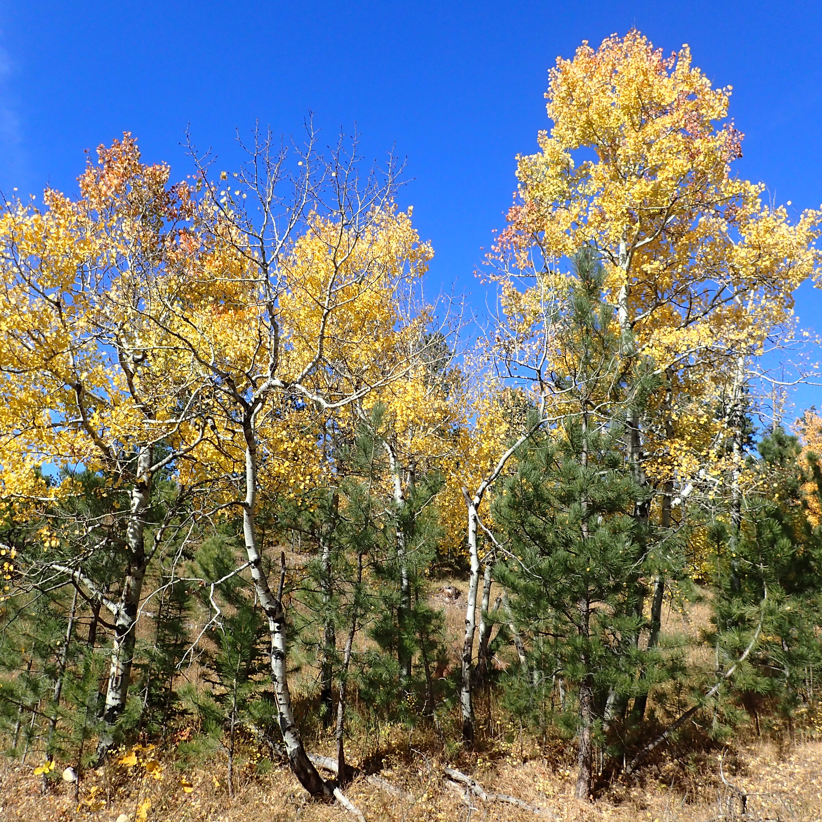
From the road I caught the last of the fall colors in the monument: a cottonwood tree in a ravine was covered with yellow-orange leaves.


Soon thereafter, I was back to my car and headed home for lunch. 


Sunday, October 16, 2022

Black Elk Peak

This morning we woke up, ate breakfast at our hotel, packed up and made the drive into Custer State Park to hike up Black Elk Peak via the standard route (Trail 9). Today would be my fifth time ascending Black Elk Peak, though it was my first time hiking up it since it was renamed. We parked at the mostly empty trailhead, put on our boots, and hit the trail bathed in early morning light.


The fall colors are at their peak, or just past peak in the middle elevations of the Black Hills.


The beginning of the trail is pretty easy, and soon we caught our first views of the surrounding terrain.


The forest here is much more open than it was the first time I completed the hike, due to pine bark beetle killing many of the trees. We took a short break at a bench placed by the Highpointer's Club, 


then continued on, starting to ascend a bit to a wonderful view of our destination: Black Elk Peak and the Harney Tower.


Soon, we entered into the Black Elk Wilderness.


Here, the trail descended to a saddle before ascending up to the main ridge. 


The views from the ridge were amazing.


Soon enough we found ourselves at the crux of the hike, the set of stairs that lead up to the Harney Tower.


Rosie did not like the grate stairs and Noelle ended up lifting her with the harness to get her up them. The views from near the tower were awesome!


We found a nice place to eat a snack out of the wind, and then started the descent back to the car.


The brilliant blue sky, cool temperatures and fall colors made the hike wonderful.

Saturday, October 15, 2022

Black Hills National Forest: Spokane Ghost Town

This is going to be the last weekend that I get with Noelle and Sierra for a while, as all my seasonal staff finish their seasons after this coming week. I wanted to do a trip to celebrate Noelle's upcoming birthday and I know how much she enjoys the Black Hills, and so we made the drive up to Custer this morning. It's Having lived and worked at Wind Cave National Park for several seasons, it can be difficult to find new things to explore. I found a place we'd never been before online, the Spokane Ghost Town.

After a brief restroom stop at Wind Cave, we drove through Custer State Park and up the southernmost section of the Iron Mountain Road. Soon enough we found ourselves at the junction with Playhouse Road. We turned right and soon enough found the gated Forest Road 330. We parked the car alongside Playhouse Road so we wouldn't block the gate and started to walk to the Spokane Ghost Town. Spokane was founded in 1890 to support mining activities in the local area. While gold was what the miners originally sought, mines in the area produced silver, copper, zinc, graphite and mica. By 1940, the mining boom had waned and the town was largely abandoned. 

We started our hike by bypassing a gate on Forest Road 330. 


An interesting sticker for the USS Greeneville was attached to a post there. 


Interestingly, we lived in the ship's namesake town of Greeneville, Tennessee for three years. After a short walk on the forest road, we started to see the first of the old town's buildings.


While there are still a handful of buildings still standing, there seem to be more old cars to look at than structures. Nearby to the building was the first cluster of old, abandoned vehicles.


There were also a few good climbing rocks for Sierra to scramble around on.


From the climbing rock, we made our way over to another cluster of cars, including one labeled as "The Beast."


From there, we bypassed a structure that had completely collapsed and then headed over to a small wood structure next to a concrete foundation. There was a really deep (and dangerous) hole here.


We picked up the road again for a short time 


and followed it to some more paths that led to interesting destinations, including a cistern and what I think may have been a root cellar or explosives storage area. 


We then made our way to a solitary grave. It belongs to James Shepard, who was murdered over a mining claim. 


As we headed a bit deeper into the woods, we found a large structure, possibly a house.


From this point we backtracked towards where we had entered the ghost town. We stopped at another relatively large structure. Again, it appeared to be a house, though I'm not sure what purpose it served.


From there we returned to the car to complete our drive of the Iron Mountain Road.