Sunday, October 29, 2023

Nebraska National Forest: Pine Ridge Trail: West Ash to East Ash

This morning Rosie and I made the drive north up towards Crawford, Nebraska and the West Ash Trailhead of the Pine Ridge Trail. It was an uneventful drive and we arrived at the snowy trailhead to cold temperatures. We hit the trail, immediately climbing.


The trail continued to climb along the edge of some deeply cut ravines. 


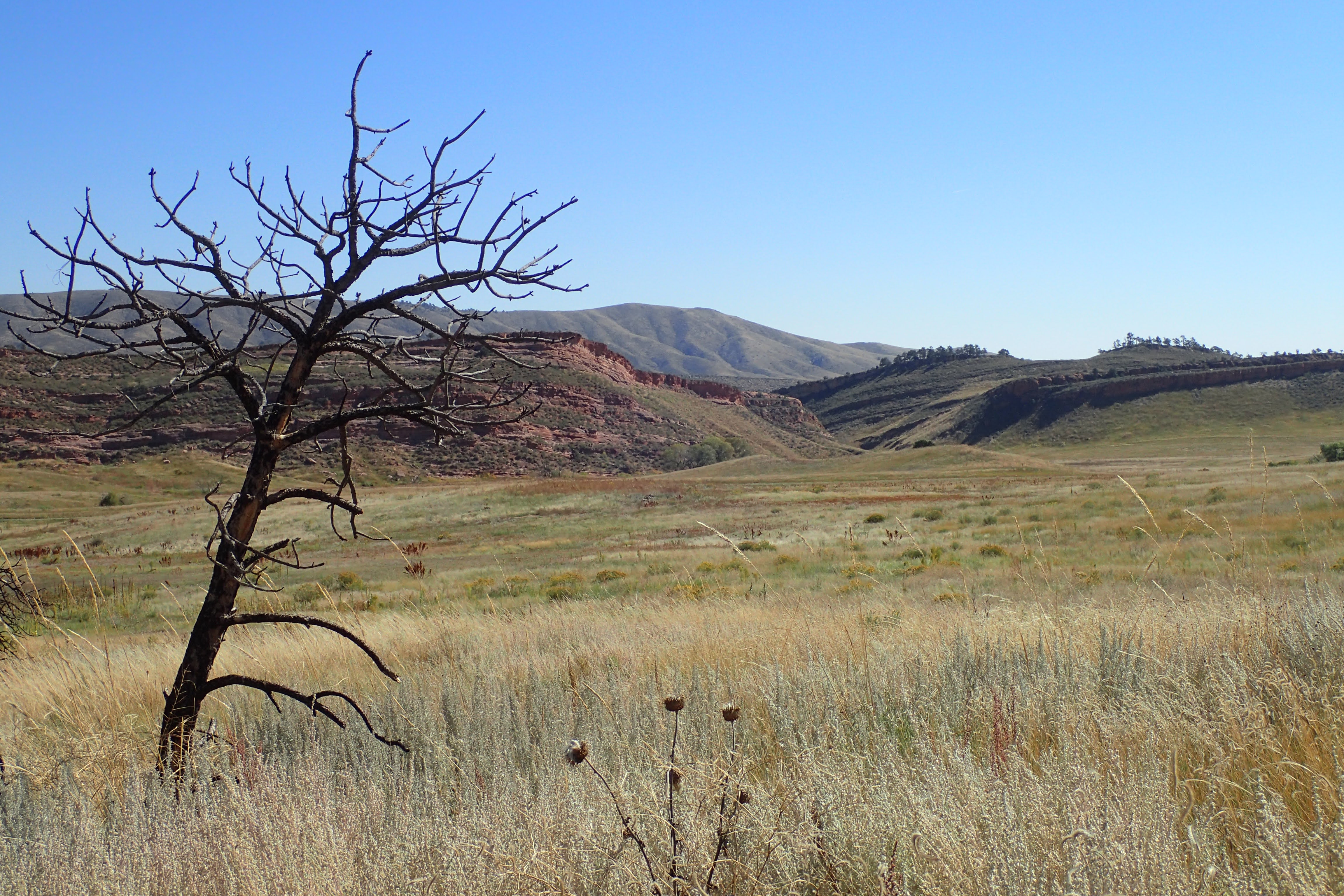
The area, though showing the scars of a fire years ago, was quite scenic.


At the top of the climb, the cold wind made the walk somewhat uncomfortable. Trees and fences were covered with a rime of ice.


We passed through a plot of private property,


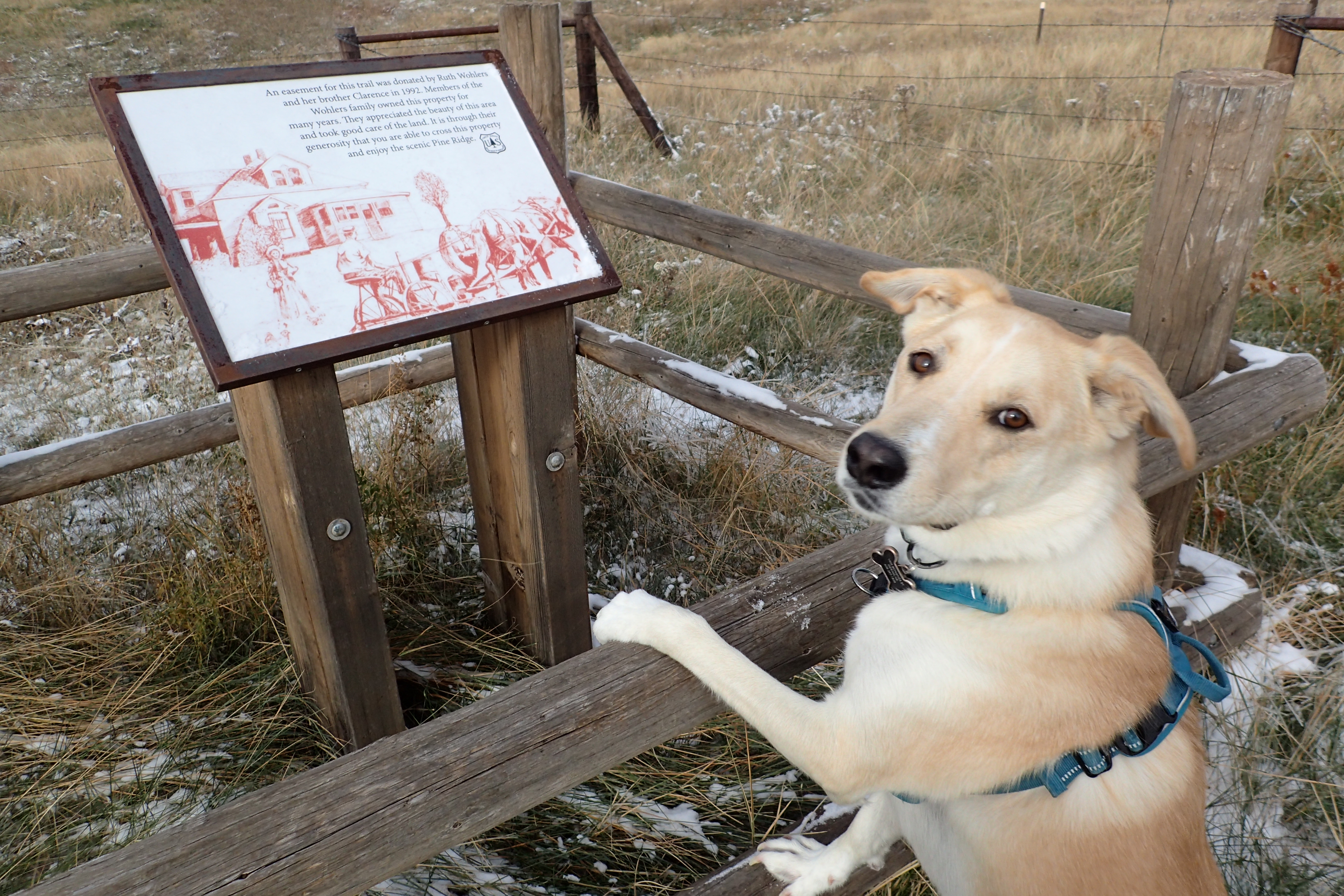
and then back onto Forest Service land on the other side. 


We approached another ravine on an old two-track road with great views in all directions.


Soon, we started the long descent towards East Ash Road.


Near the East Ash Trailhead


we sat in a sunny spot for a snack break.


Then, we started to make our way back to the start of our hike as the sun tried to force its way from behind the clouds.


Thursday, October 5, 2023

Bobcat Ridge Natural Area: Eden Valley Spur

 After my hike of Palisade Mountain, I made the short drive over to Bobcat Ridge. It's been about a year since I've hiked at Bobcat Ridge and I was excited to do some exploring. Having already completed a short hike, I opted for the short and easy walk on the Eden Valley Spur Trail. It's 1.8 miles from the trailhead parking area to the Natural Area boundary.

The hike started with a nice easy stroll on a paved trail with views of the surrounding foothills.


Soon, I reached dirt and gently climbed up to the intersection with the Eden Valley Spur.


This late in the year, the only flowers blooming were rabbitbrush,


sunflowers, and a few rogue prickly poppies.


The trail itself was mostly level, with pleasant views across the valley formed by the foothills and a red rock hogback.


I stopped to admire a lone ponderosa pine that seems to have escaped the Cameron Peak fire that burned through here a few years ago.


Soon, I was at the Natural Area boundary. The trail continued on a bit and I didn't see any "No Trespassing" signs, and so I decided to continue just a little further to where the trail intersected with a dirt road. There was an interesting sign for a Sanitarium there.


I took a photo and then returned to inside the natural area where I ate a snack before following the trail back to the car. The scenery was just as impressive on the way back.


Once back to the car, I made the drive into Fort Collins for a beer at Mythmaker Brewing. The smoked wheat beer was something I wouldn't normally try, but I found it to be very good. I will have to head back at some point with Noelle. 

Roosevelt National Forest: Palisade Mountain

 I've been wanting to catch a view of aspen trees in golden fall splendor, and so I decided a trip out to the mountain of Colorado was in order. I made the drive down to Loveland and then headed up the Big Thompson Canyon and Devil's Gulch Road, then turned off onto Storm Mountain Drive to the "trailhead" of the unofficial trail up to the summit on Snow Top Road. Here, a gate blocks an old forest road and marks the start of the hike. 


Right away, there are great views of the western side of Palisade Mountain. 


Views to off to the sides of the trail look both east, towards Loveland, and west towards the high peaks of Rocky Mountain National Park.


The trail, though unofficial, was very well defined on the lower slopes of the mountain.


I made my way through grassy areas with scattered pines. 


The views continued to impress as I made my way higher. To the north were some open foothills. I suppose they were probably timbered at one point, but today there are few trees.


Being late in the season (early October), I was surprised by how many blooming flowers I spotted along the trail. There were yarrow,


paintbrush,


and other species that I didn't photograph including harebells, goldenrod and asters.

The trail got a bit rocky towards the summit, but I never had any difficulty in following it. Before I knew it, I was standing on the summit with great views of the Mummy Range and Longs Peak.


I spent a bit of time up there relaxing and enjoying the view, then I started to make my way down. The views on the descent were even better than they had been on the way up.


While I had intended to search for golden aspens, I didn't find many along the trail. Just one small cluster about 1/8 mile from the trailhead.


Soon, I was back at the car. It was only 10:30 and so I decided another hike was in the cards. I headed over to Bobcat Ridge to hike the Eden Vally Spur Trail.