After my wonderful hike at Red Rock Park this morning, I hit the road and headed west into Arizona. I stopped and got lunch at Safeway in Winslow and then headed over to the nearby Homolovi State Park. I stopped at the visitor center and paid the admission fee and then set out to explore. Just outside of the visitor center was a wonderful view of the surrounding landscape
and also a recently constructed "ruin" that had been intentionally burned to study the effects of fire on pueblo sites.
From the visitor center I headed first to the expansive Homolovi II Ruins.
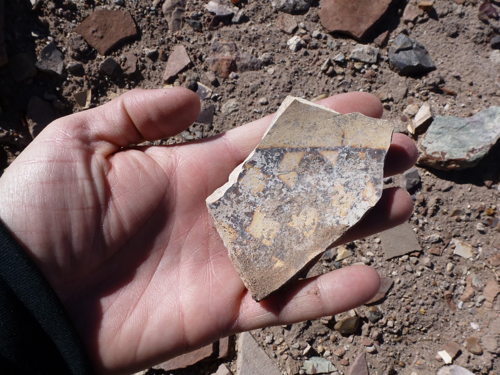
The first thing I noticed was the amount of pottery littering the ground. It was literally everywhere.
Previous visitors had collected some of the more impressive pieces into small galleries.
I spent about an hour looking at the ruins and examining the pottery sherds before moving on.
From Homolovi II I headed south to a short trail leading to some petroglyphs.
The glyphs were difficult to make out but at least one was fairly easy to see.
After hiking the short trail I headed over to the Homolovi I site
which is located on the banks of the Little Colorado River.
Again there were interesting ruins and walls and lots of pottery.
From Homolovi I I left the park and headed further west to Flagstaff where I got an early dinner at the Flagstaff Brewing Company. Then it was on to the Grand Canyon for the start of my training tomorrow.
Monday, February 4, 2013
Red Rock Park in Gallup, New Mexico
Woke up in my hotel room in Gallup this morning and checked out after some breakfast. I immediately headed over to Red Rock Park. Apparently, this place was once a state park, but was taken over by the city of Gallup a few years back. I quickly found the trail-head for Pyramid Rock and hit the trail.
It was cold this morning, but as the sun rose I started to warm up. The trail immediately climbed up onto the red rock and made its way towards Pyramid Rock.
There were some interesting sites along the way including lots of views towards nearby buttes,
Church Rock and a few Chimney Rocks.
Soon enough I made my way up to the summit. The view was spectacular.
After a few minutes of relaxing and taking a self-portrait, I began to descend. I faint trail that I had passed earlier caught my eye again and I decided I had to take it. It led in the direction of Church Rock.
Again there were lots of great views, especially towards Church Rock
and back to Pyramid Rock.
As I approached the rock the trail became less defined. Offshoots headed in different directions. I wandered around for a bit and finally found a good path that headed down into a drainage below Church Rock. Soon I was back on an official trail, this time the Church Rock Trail.
I made my way farther and farther down, eventually finding myself in a parking lot.
From the parking lot I followed a road to the Pyramid Rock parking area and my car. Red Rock Park turned out to be a worthwhile excursion. If you ever find yourself in Gallup, New Mexico; I would definitely pay the park a visit.
It was cold this morning, but as the sun rose I started to warm up. The trail immediately climbed up onto the red rock and made its way towards Pyramid Rock.
There were some interesting sites along the way including lots of views towards nearby buttes,
Church Rock and a few Chimney Rocks.
Soon enough I made my way up to the summit. The view was spectacular.
After a few minutes of relaxing and taking a self-portrait, I began to descend. I faint trail that I had passed earlier caught my eye again and I decided I had to take it. It led in the direction of Church Rock.
and back to Pyramid Rock.
As I approached the rock the trail became less defined. Offshoots headed in different directions. I wandered around for a bit and finally found a good path that headed down into a drainage below Church Rock. Soon I was back on an official trail, this time the Church Rock Trail.
I made my way farther and farther down, eventually finding myself in a parking lot.
From the parking lot I followed a road to the Pyramid Rock parking area and my car. Red Rock Park turned out to be a worthwhile excursion. If you ever find yourself in Gallup, New Mexico; I would definitely pay the park a visit.
Sunday, February 3, 2013
El Malpais National Conservation Area
After exploring the Sandstone Bluff Overlook in El Malpais National Monument, I headed into the BLM administered El Malpais National Conservation Area for a look around. The first stop in the NCA was probably the best known feature in the area: La Ventana, a natural sandstone arch.
I hiked a short trail to the arch for a better view
and then drove a little further down the road to the trailhead for the Narrows Rim Trail.
The hike along the narrows rim was interesting, and being Superbowl Sunday I practically had the place to myself.
The trail started in a picnic area and immediately passed a small cave which I just had to check out.
From the cave the trail ascended to the rim and followed the rim for the rest of the way. There were lots of great views along the way down to the Malpais (Spanish for badlands) and Mount Taylor.
The trail ended at an overlook of La Ventana.
I spent a few minutes relaxing there and then started to retrace my steps back to the trailhead.
Once back at the car, I decided I would see if I could find a place called the Dittert Site. The Dittert Site is a Chacoan outlier built somewhere between AD 1000 and 1300. It lies within the Cebolla Wilderness.
I did not have specific directions to the site, but I did have a site bulletin about it that I had picked up at the visitor center. The site bulletin showed the approximate location of the site in relation to some sandstone cliffs. I set out on an old road to see if I could find the site.
I never did find the actual Dittert Site, but still it was a worthwhile hike into the wilderness. I found a "mushroom" rock
and 3 other archaeological sites other than the actual Dittert Site. The Dittert Site is just one of over 60 archaeological sites in Armijo Canyon. The sites were all interesting with lots of pottery scattered about on the ground.
I hiked a short trail to the arch for a better view
and then drove a little further down the road to the trailhead for the Narrows Rim Trail.
The hike along the narrows rim was interesting, and being Superbowl Sunday I practically had the place to myself.
The trail started in a picnic area and immediately passed a small cave which I just had to check out.
From the cave the trail ascended to the rim and followed the rim for the rest of the way. There were lots of great views along the way down to the Malpais (Spanish for badlands) and Mount Taylor.
The trail ended at an overlook of La Ventana.
I spent a few minutes relaxing there and then started to retrace my steps back to the trailhead.
Once back at the car, I decided I would see if I could find a place called the Dittert Site. The Dittert Site is a Chacoan outlier built somewhere between AD 1000 and 1300. It lies within the Cebolla Wilderness.
I did not have specific directions to the site, but I did have a site bulletin about it that I had picked up at the visitor center. The site bulletin showed the approximate location of the site in relation to some sandstone cliffs. I set out on an old road to see if I could find the site.
I never did find the actual Dittert Site, but still it was a worthwhile hike into the wilderness. I found a "mushroom" rock
and 3 other archaeological sites other than the actual Dittert Site. The Dittert Site is just one of over 60 archaeological sites in Armijo Canyon. The sites were all interesting with lots of pottery scattered about on the ground.
El Malpais National Monument
Last night after work I packed up my car and headed north to Albuquerque. I spent the night in a hotel and met Robby and Mike for breakfast. After breakfast we went our separate ways with Robby and mike heading north to Colorado and me heading west to Grants and the El Malpais.
I stopped at the visitor center for some information and then headed out in overcast skies to go check out the national monument. My first stop was Sandstone Bluff Overlook.
There were great views of the lava flow below and a distant Mount Taylor.
After leaving the overlook I noticed a dirt pull-off to the side of the road. I wanted to see what was there and so I parked and walked a short distance to the ruins of the old Garrett Homestead.
From the homestead I checked out the nearby El Malpais National Conservation Area and then returned to the national monument to hike the short, interpretive Lava Falls Trail. The trail which traversed the lava flow was interesting,
but difficult to follow in places. It was marked by lava cairns.
There were lots of interesting cracks in the lava.
Some of the cracks were quite deep and filled with snow and ice.
As I hiked the trail
I eventually came to Lava Falls itself, a "lava waterfall" which formed when hot, molten lava poured over a hardened, cooled lava surface.
I stopped at the visitor center for some information and then headed out in overcast skies to go check out the national monument. My first stop was Sandstone Bluff Overlook.
From the homestead I checked out the nearby El Malpais National Conservation Area and then returned to the national monument to hike the short, interpretive Lava Falls Trail. The trail which traversed the lava flow was interesting,
I eventually came to Lava Falls itself, a "lava waterfall" which formed when hot, molten lava poured over a hardened, cooled lava surface.
Subscribe to:
Posts (Atom)