As I drove through Cosby in a real gully-washer downpour, I really started to reconsider my intentions of going for a hike today. Still, because I was so close to the Cosby Campground and the starting point of my hike, I decided to just keep driving and see what happens. It turns out that I made the right decision as the rain had ended by the time I reached the trailhead parking lot.
Despite cloudy skies, I would not get rained on during the entirety of my 16 mile hike until the last 20 minutes of my return to the car.
The hike started out on the Low Gap Trail as it meandered around the Cosby Campground. Even though the first section of trail was so close to civilization, it was an interesting walk. The trail closely paralleled Cosby Creek
and meandered through some huge old growth trees.
After leaving the campground area the trail started to climb in earnest. The tread was well graded and not too rocky, which made for good hiking conditions (especially on the descent later in the day). There were lots of late summer wildflowers in bloom to admire,
including the first blooming goldenrods of the year. After about an hour and a half of climbing I found myself at Low Gap for a descent down to Walnut Bottoms.
The second half of the Low Gap Trail was not as smooth as the first, but I was still able to make pretty good time on my descent down to Big Creek. Along the way I stopped briefly to check out some weird fungi,
but otherwise I kept a quick pace down to the aptly named creek.
I then followed a short portion of the Big Creek Trail to its junction with the Swallow Fork to complete that section of trail should I ever find myself approaching eligibility for the
900 Miler Club.
Then I retraced my steps back across Big Creek and continued upstream.
The views of the creek were impressive and I found myself frequently stopping to photograph it.
At a seemingly arbitrary point the Big Creek Trail became the Camel Gap Trail, which I would follow about 4.1 miles to the Appalachian Trail. The lower sections of trail bed were obviously an old railroad as evidenced by the railroad spike
I found right on the trail and another chunk of old industrial detritus.
Because of the trail's former use the grade was gentle and I found it easy to make the ascent. I considered stopping for a swim in a nice deep pool at the bottom of a small waterfall,
but because of time constraints I opted against it. The trail eventually left Big Creek and started to climb a little bit more steeply with an occasional view through the trees to the surrounding mountains.
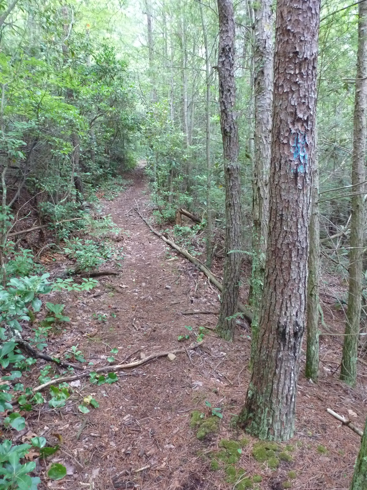
Soon I was on the famed AT. The Appalachian Trail was high enough in elevation at this point that it afforded me the opportunity to hike in the clouds.
The mist coated everything including the numerous spiderwebs that decorated the trail-sides.
There was also lots of trillium lining the trail, and although it is no longer in bloom the leaves and fruit are still present and quite photogenic.
I also found quite a few lillies growing at that high elevation.
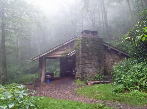
I believe that they are Turk's Cap. The trail made a short climb up to the flank Cosby Knob and I headed down to the Cosby Knob Shelter to use the privy.
I had spent the night in this shelter during my thru-hike in 2000, but it did not seem at all familiar to me 14 plus years later. My stop turned out to be good timing as it started raining while I was using the outhouse. I waited out the remainder of the storm inside the shelter.
From Cosby Knob it was literally all downhill. I made it back to my car in less than an hour and half after leaving the shelter. I did get rained on a bit on the descent, but still I did not get soaked like I had expected. Once back to the car it was about an hour drive back to Greeneville.