Saturday, February 18, 2023

Pawnee National Grassland: Indian Caves

A few weeks ago, I was snooping around on All Trails and noticed one of the closest "trails" listed to where we live is this hike just south of the Nebraska border in Pawnee National Grassland in Colorado. Today, wanting to get out for a hike, but not wanting to drive too far away, I decided to head south for this hike.

It was an uneventful drive down into the grassland. Along the way I drove through an area with quite a bit of snow on the ground. I was worried that the hike attempt might be a fail. However, as I approached the county road for the turn off of Highway 71, there was little snow of the ground. I turned off the county road and onto a two-track for the last mile to the start of the trail at a stock tank.


I started the hike by following a faint two-track road west from where I parked. It appears the road is closed to vehicular traffic. However, the signs indicating this were all blown over or intentionally removed.


The first point of interest that I explored was a long, thin ridge of sandstone that I've seen called "Battleship Rock." The sides of the ridge were crumbling, leaving a landscape of talus boulders and small shelter caves.


Several of the small shelter caves looked like they were used as shelter by animals. A few even had piles of animal bones littering the ground just outside.


As I made my way further west along the south side of Battleship Rock, I found an inhabitant just outside one of the rock shelters: a porcupine!


I was very close to it before I even realized it was there. It didn't seem to notice me until I started talking to it. It finally retreated into the safety of the rock shelter. I continued to follow the sandstone ridge east, past some really interesting, eroded sandstone formations, 


to a fence line. Here, at the west end of Battleship Rock, I ascended up to the top of the ridge.

I enjoyed the view of the surrounding lowlands from the ridge. I also had a great view of another cliff line just to the north. 


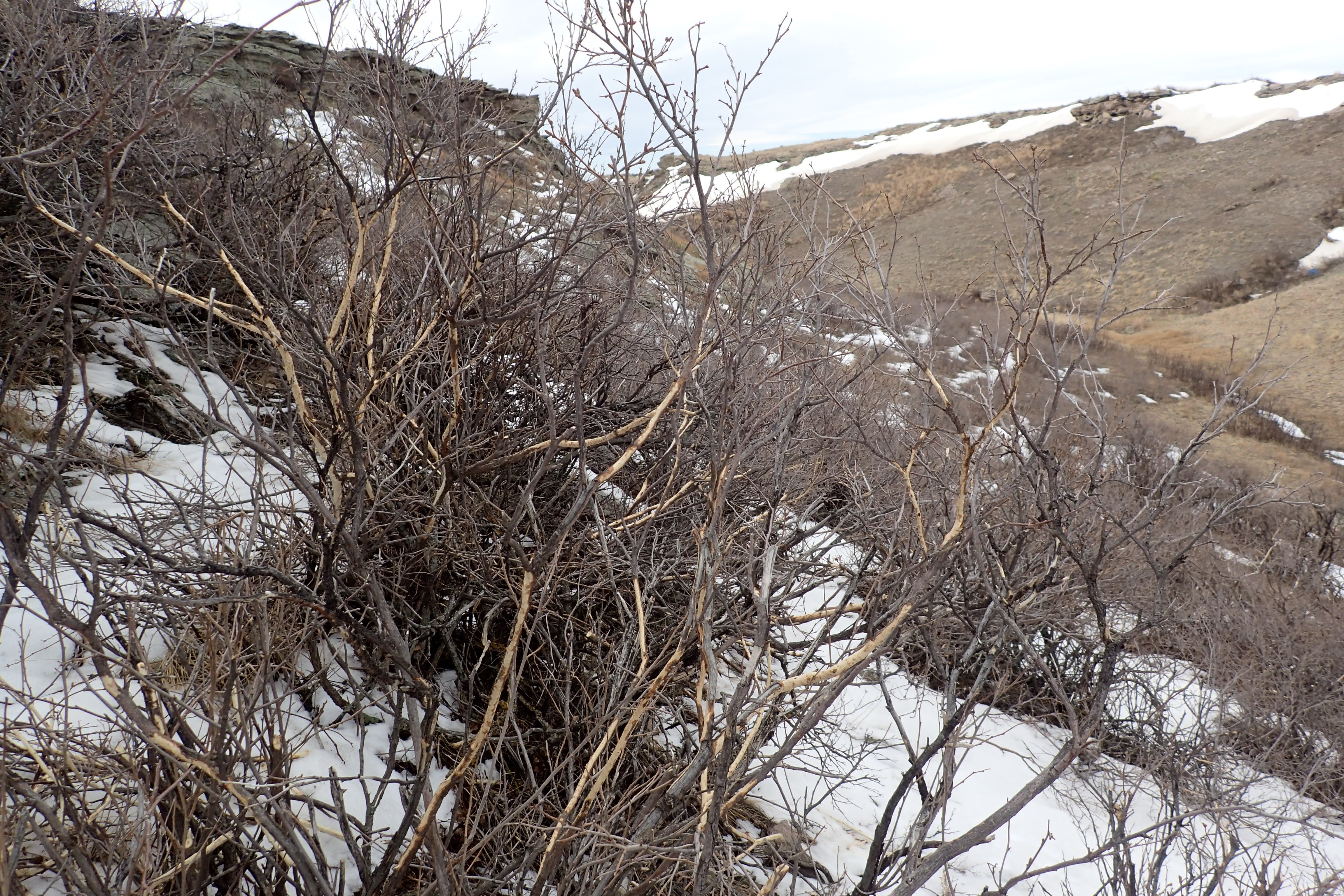
After exploring the summit of the ridge I descended down off of Battleship Rock to check out the cliffs to the north. As I approached the cliffs, I noticed a fenced in wetlands and a small canyon. I decided to explore the small canyon. As I made my way up it, I noticed two more porcupines eating the bark of small shrubs.


At the head of the canyon was a small, frozen waterfall which I believed formed off of snowmelt from above.


I explored a few rock shelter caves along the cliffs in the canyon. A few shelter ceilings were covered with swallow nests.


Then, I climbed up to the top of the cliffs. I took one last look down into the canyon,


before exploring the top of the cliffs. It was very flat at the top. There were lots of great views looking south and west from parts of the top.


I noticed in several places at the edge of the plateau, there were low rock walls built up. 


I have no idea the purpose or who built them.

To the north I found another small canyon. On the ridge above it was a small, natural arch.


At this point I figured it was time to start heading back down off the plateau and into the grasslands below. Once at the east end of the national grassland property, I followed a fence line for a bit. Then cut through a prairie dog town 

for the last leg of the hike back to the car. It had been a surprisingly interesting hike. I saw 5 porcupines, almost stepped on a rabbit, and found part of a pronghorn skull. I would love to return to explore more of the small, shelter caves that I missed today. I think I will most definitely return. 

Sunday, February 5, 2023

Roosevelt National Forest: Lady Moon Trail to Disappointment Falls

I've been itching to get out of the house and go on a real adventure. Today, we made the drive down into Colorado and over to Red Feather Lakes for a hike in the snow. Our journey would take us along the Lady Moon Trail and then over to Disappointment Falls. 

We arrived at the trailhead, ate some snacks and donned our gear, 


and then hit the trail.


The trail started out fairly easy, heading into a meadow almost immediately.


We followed the snow-packed trail through a mix of intermittent wooded areas and open fields.


Eventually, our route left a wide, old logging road and headed into the woods on a narrow single track path.


As we made our way out of the woods, views opened up to the high mountains to the west.


We continued to follow the narrow trail, gradually descending further and further down into a valley.


At the junction with the Disappointment Falls spur, we made a right turn and soon found ourselves following a creek, currently it is largely frozen. Interesting rock formations lined the valley.


Soon enough we were at the frozen falls. Honestly, at this time of the year, the falls were a bit of a disappointment. 


Luckily the beautiful winter scenery made up for the lack of flowing water. We ate a snack at a snow free area in the trees, and then started to retrace our steps back to the car.


We stopped to admire the ruins of a log barn.


Then, we continued on our way, 


ascending up to the wooded ridge. At one point Sierra's boot was giving her a hot spot, so we took a break and Noelle applied a bandage to prevent a blister.


The walk back seemed to take forever. Luckily, there was still plenty of great scenery to distract us. 


We made it back to the car by 2:45 and drove into Fort Collins for a late lunch/early dinner at Coopersmith's.

Sunday, January 15, 2023

Chimney Rock National Historic Site: Hiking Chimney Rock

Noelle, Sierra and I have been to Nebraska's famous Chimney Rock before. It's a famous landmark on the emigrant trails. However, we had never hiked at Chimney Rock before today. The reason we hadn't hiked there before, was the fact that I wasn't sure hiking was allowed. Well last time I stopped in the visitor center, I asked the staff if hiking was allowed and they told me that it is. There's even a Chimney Rock hike on AllTrails, though the hike is not on an official trail. We would be doing a variation of the hike listed on AllTrails.

It was an uneventful drive east towards Chimney Rock. We made the turn off to the visitor center, passed the building and at the T intersection, made a right turn. Surprisingly, there was a lot of traffic on the narrow, dirt road. It turns out there was something happening at the Chimney Rock Pioneer Cemetery on this Sunday morning. We parked along the side of the road and found the trail. It immediately led down into a ravine. With snow covering the ground, it was a slick descent down into the gully.


The shrubs in the ravine showed signs of major browsing, by rabbits I assume.


We climbed out of the ravine and roughly paralleled a fence line for a bit. 


There was a constant view of our objective for the hike. Soon enough we could see the memorial plaque that was set in a concrete base. We stopped and Noelle pointed it out to Sierra.


Before we knew it, we were approaching the base of the spire.

We stopped at the memorial for a photo,


and then decided to circumnavigate the rock. We did so in a clockwise direction.


The north-facing sides of the rock seemed to hold more snow than other sides.


There were a few more ravines to traverse.


We found the lights that are used to illuminate the rock at night. During the holidays, the lights are green and red.


Before we knew it, we had completed the loop back to near the memorial. A few more nice views of the landmark were offered.


Then, it was a short hike back to the car. 

It was a fun hike and interesting to see Chimney Rock from different angles. It appears that there will soon be an official trail that leads from the visitor center to the base of the rock. I wanted to make the hike to Chimney Rock before the trail is built and then return to see how the experience changes once the trail is completed. Judging from the fact that we didn't see any evidence of trail construction, it might be a while before we can hike the new trail.

Sunday, January 1, 2023

First Hike 2023

 Happy New Year! Today, Noelle, Sierra, Rosie and I got out for our (nearly) annual First Day Hike. Not wanting to go far after our long drive from Wisconsin, we opted to hike at Scotts Bluff National Monument. We hiked up the closed Summit Road.


    Once at the top, we hiked out to the South Overlook,


before starting the descent down the Saddle Rock Trail.


It was a great start to what I think is going to be a great 2023!