Sunday, March 12, 2023

Bead Mountain

Today Noelle, Sierra and I went for a short drive out to Bead Mountain Ranch to make the short hike up to the area's namesake Bead Mountain. When we arrived at the parking area, we were surprised to find another vehicle in the lot. This isn't a very popular area.
Anyway, we immediately started our hike. 


There's not a trail here, so we merely walked through some cattle pasture towards our objective.


On the northeast side of the "mountain" is a small area of eroded badlands. 


We hiked towards the badlands, then traversed the base past some boulders that have eroded out of the mountain.


Then, we made our way up the slope that led to the saddle between the two summits.


Looking back towards the parking area, were great views of Scotts Bluff.


Once we had reached the saddle, 


we opted to hike to the shorter western summit first. It was a pretty steep climb.


The western summit is covered with pipy concretions of limestone. 


There were great views in all directions. 

After a short time exploring, we made our way back to the saddle and started the ascent up to the eastern summit. 


Again, there were great views in all directions. 


This eastern summit is part of a long flat ridge that extends about 200 yards east. We followed the ridge and started to descend.


At the end of the ridge, we started our final descent down some steep loose slopes. We were all relieved when we had reached the flatter terrain at the base of the mountain. 


From here it was a short hike across the pastures back to the car. We ended our day with beers and lunch at Flyover.

Sunday, March 5, 2023

Rawhide Wildlife Habitat Management Area

Today, Noelle, Sierra and I headed west into Wyoming to hike at an area we have never explored before: the Rawhide Wildlife Habitat Management Area. It was an uneventful drive through Torrington and the area was easy to find; well signed turn-off on US 26. We found the parking area and hit the trail, which was muddy in some areas and icy in others.

It is honestly not the most interesting trail. Basically, it follows an old road down in the flood plain of the North Platte River. Once we crossed over a small stream on a footbridge, 


things got a little bit more interesting.

Here there's not much of a trail. We cut over towards the river and were rewarded with nice views.


We saw a bald eagle flying and lots of evidence of beavers.


After exploring the river area, we started to make our way back. I found part of a small animal skull.


Then, a little later I found most of a deer buck's skeleton.


We made our way back to the car 


and then drove into Torrington for lunch at the Broncho Bar.

Friday, February 24, 2023

Skiing Snow Range Ski Area 2023

 We had booked our ski trip to Snowy Range Ski Area back about a month ago. Unfortunately, our streak of scheduling travel during bad weather has continued. We were set to leave after school/work on Wednesday. However, a blizzard was forecast to move through the region Tuesday night into Wednesday. If we wanted to make it to the ski area, we would have to leave early. After work on Tuesday, we quickly gathered up our gear and packed and hit the road. A light rain fell as we drove into Wyoming. Luckily, it was too warm to freeze. We made it to Cheyenne to discover that I-80 was closed. We dropped down into Colorado, drove through Owl Canyon and up into Laramie on US 287. The first snowflakes started to fall as we pulled into town.

Since we had arrived a day earlier than anticipated, we had a day to explore Laramie. We started off by checking out the University of Wyoming Geology Museum. 


You don't see a sign like this every day!

Tracks in the concrete leading to the museum.

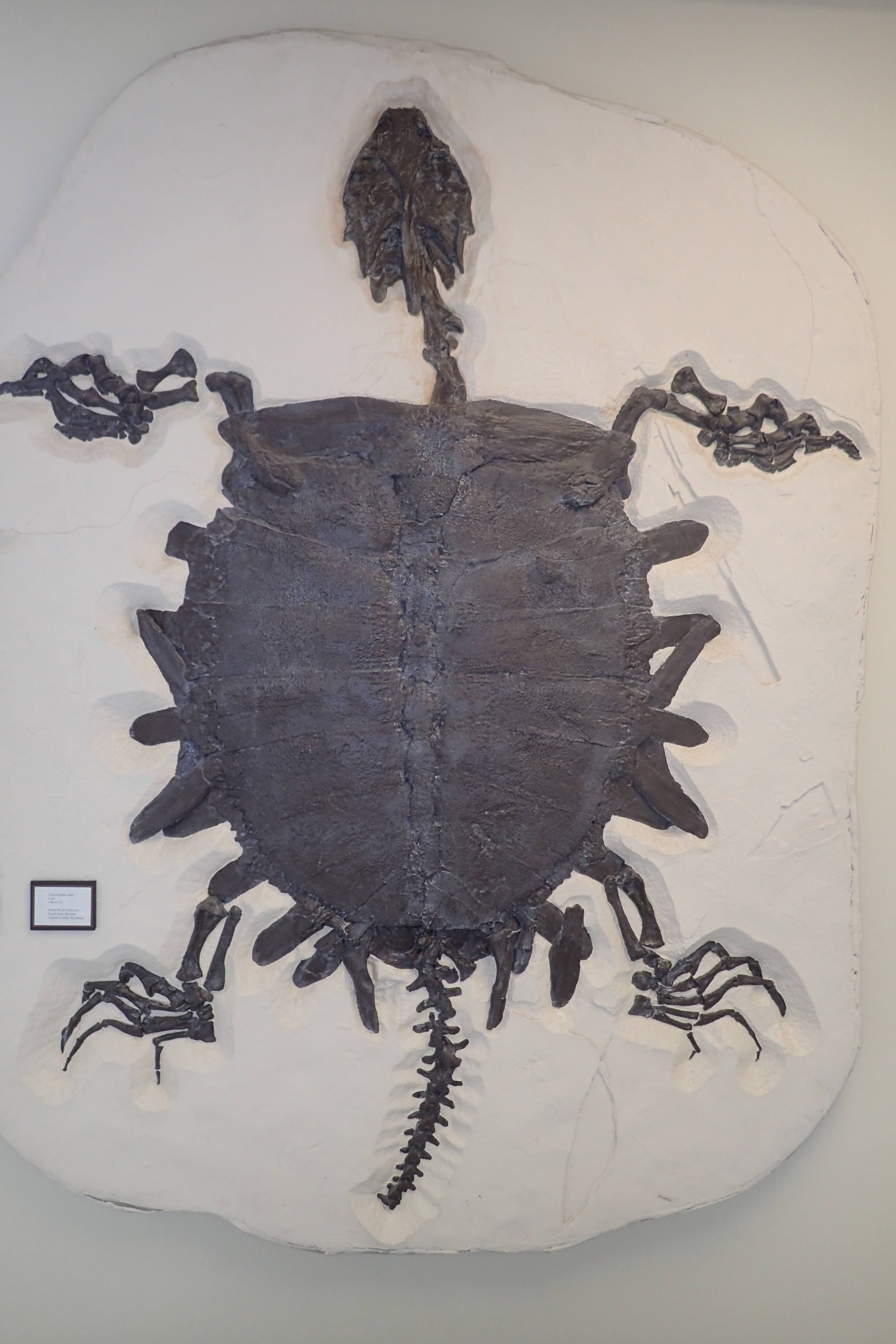
Honestly, I think it's more of a paleontology museum. We checked out some of the interesting fossil skeletons on display.


After exploring the Geology Museum, we drove across campus to the Art Museum. After enjoying the art, we went downtown for lunch at Born in a Barn, and then Noelle and I drank a beer at Coal Creek TAP.


Thursday morning we got up early, ate breakfast at the hotel, and then made the drive to Snowy Range Ski Area. 


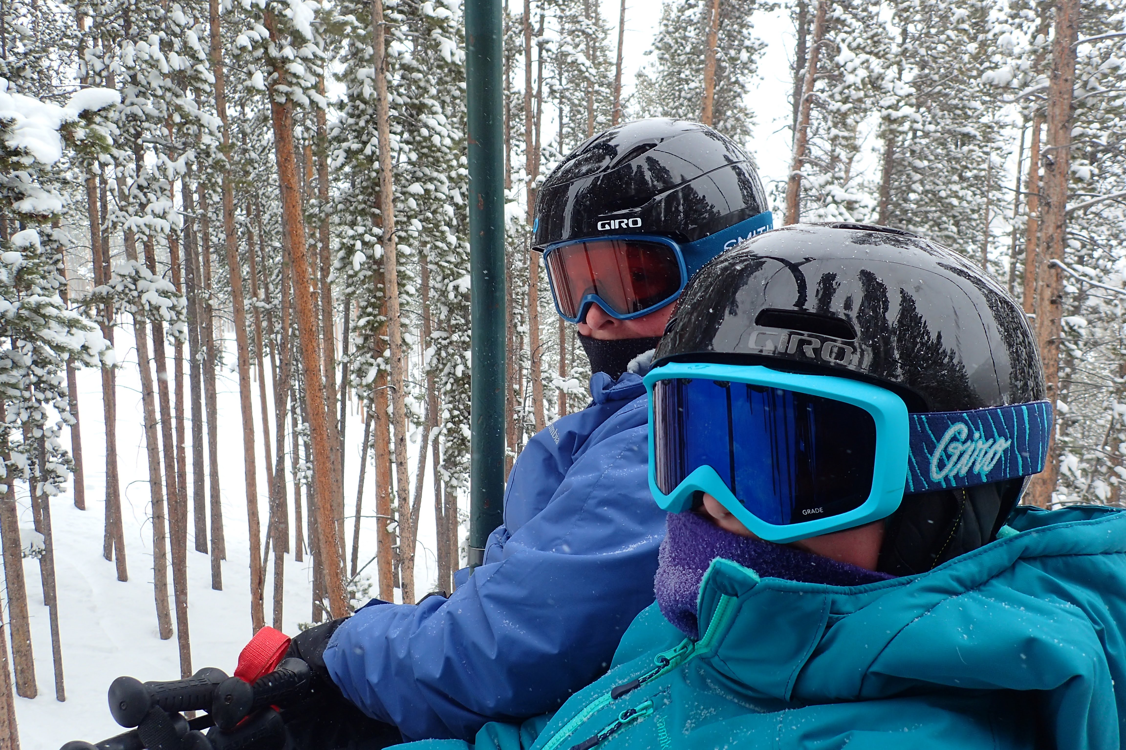
We skied a few runs before Sierra's lesson at 10 a.m. Then, Noelle and I were able to ski together for a bit 


before we picked Sierra up at noon and ate lunch in the lodge. Then, we headed back out for some skiing. 


Sierr's skills have really improved! We skied until about 3, at which point we were all very tired. We headed back to the hotel and ate a delicious dinner at Sweet Melissa, a vegetarian restaurant.

On Friday, we headed back to the mountain, a little later than the previous day, since we already had our rental gear. We had a great day of skiing. Sierra has really become a proficient skier! We skied both greens and some of the easier blue runs. We even skied one of the more difficult blue runs, the steep Virginian Trail. 


I took some videos over the course of our two days at Snowy Range. Here's the video of our trip:


Saturday, February 18, 2023

Pawnee National Grassland: Indian Caves

A few weeks ago, I was snooping around on All Trails and noticed one of the closest "trails" listed to where we live is this hike just south of the Nebraska border in Pawnee National Grassland in Colorado. Today, wanting to get out for a hike, but not wanting to drive too far away, I decided to head south for this hike.

It was an uneventful drive down into the grassland. Along the way I drove through an area with quite a bit of snow on the ground. I was worried that the hike attempt might be a fail. However, as I approached the county road for the turn off of Highway 71, there was little snow of the ground. I turned off the county road and onto a two-track for the last mile to the start of the trail at a stock tank.


I started the hike by following a faint two-track road west from where I parked. It appears the road is closed to vehicular traffic. However, the signs indicating this were all blown over or intentionally removed.


The first point of interest that I explored was a long, thin ridge of sandstone that I've seen called "Battleship Rock." The sides of the ridge were crumbling, leaving a landscape of talus boulders and small shelter caves.


Several of the small shelter caves looked like they were used as shelter by animals. A few even had piles of animal bones littering the ground just outside.


As I made my way further west along the south side of Battleship Rock, I found an inhabitant just outside one of the rock shelters: a porcupine!


I was very close to it before I even realized it was there. It didn't seem to notice me until I started talking to it. It finally retreated into the safety of the rock shelter. I continued to follow the sandstone ridge east, past some really interesting, eroded sandstone formations, 


to a fence line. Here, at the west end of Battleship Rock, I ascended up to the top of the ridge.

I enjoyed the view of the surrounding lowlands from the ridge. I also had a great view of another cliff line just to the north. 


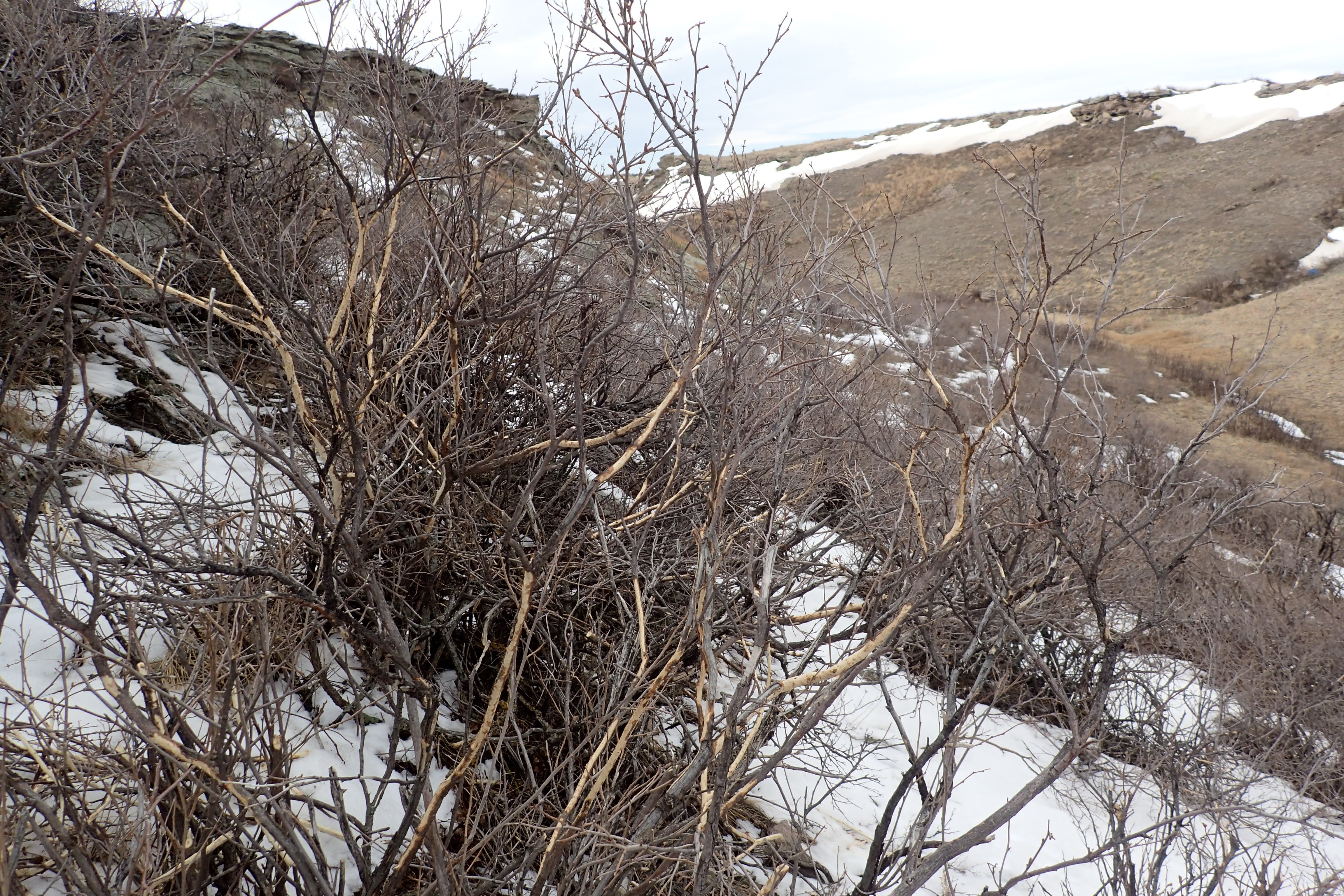
After exploring the summit of the ridge I descended down off of Battleship Rock to check out the cliffs to the north. As I approached the cliffs, I noticed a fenced in wetlands and a small canyon. I decided to explore the small canyon. As I made my way up it, I noticed two more porcupines eating the bark of small shrubs.


At the head of the canyon was a small, frozen waterfall which I believed formed off of snowmelt from above.


I explored a few rock shelter caves along the cliffs in the canyon. A few shelter ceilings were covered with swallow nests.


Then, I climbed up to the top of the cliffs. I took one last look down into the canyon,


before exploring the top of the cliffs. It was very flat at the top. There were lots of great views looking south and west from parts of the top.


I noticed in several places at the edge of the plateau, there were low rock walls built up. 


I have no idea the purpose or who built them.

To the north I found another small canyon. On the ridge above it was a small, natural arch.


At this point I figured it was time to start heading back down off the plateau and into the grasslands below. Once at the east end of the national grassland property, I followed a fence line for a bit. Then cut through a prairie dog town 

for the last leg of the hike back to the car. It had been a surprisingly interesting hike. I saw 5 porcupines, almost stepped on a rabbit, and found part of a pronghorn skull. I would love to return to explore more of the small, shelter caves that I missed today. I think I will most definitely return.