on a sturdy footbridge.
a drinking fountain,
a large chimney,
and an ornate pipe sticking up out of the ground.
After exploring the camp site for a bit I got back on the trail crossing a log footbridge. Eventually I came to the site of an old cistern which I assume held water for the CCC camp.
From the cistern the trail crossed the cascading Kephart Prong
again on a footbridge.
At one point there were a bunch of railroad tracks scattered along the side of the old road.
Some of them were so overgrown with vegetation that they were barely visible. The site made me wonder if this old road was once a logging railroad. Soon I found myself at the Kephart Prong Shelter.
I stopped for a break, read the register, and ate a snack. Then I moved on and away from Kephart Prong
for the steep ascent on the Sweat Heifer Trail. Actually the ascent was not as bad as I had been led to believe from things I'd read on some blogs. Parts of the trail seemed to follow an old road bed, while others were obviously more recently constructed foot path. At the top of a ridge the trail came to an area with a pile of rusty metal debris.
Nearby was a flat area that looks to have seen some major human use. On the old road bed there I found quite a bit of coal littering the ground.
It was a short ascent from there up to the Appalachian Trail.
Before reaching the Appalachian Trail I had seen some patches of snow and ice here and there. Once I reached the AT however, the snow and ice became a nearly constant companion.
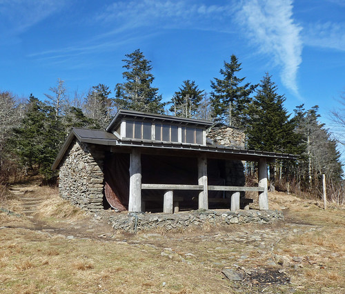
I was beginning to wonder if I had made a mistake in not packing my microspikes. I made it to the Icewater Springs Shelter in one piece though.
There I took a break and ate a snack while basking in the sun. The last time I had been at this shelter was about 15 years ago during my thru-hike. I had left my rain pants there by accident and did not realize it until I was miles away. I looked for them, but they were nowhere to be found. There is a pretty nice view from the front of the shelter.
After my break I got back on the trail. The section north of Icewater Springs was a veritable luge run.
I ended up having to skirt around the side of the trail to avoid a major catastrophe. Eventually the trail cleared though.
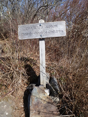
By the time I reached Charlie's Bunion, the ice was a thing of the past. I enjoyed the view of nearby Mount LeConte
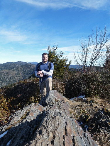
and climbed up to what some refer to as the "Real Charlie's Bunion" (as opposed to the "tourist Bunion"). There were two trails there. One went over to the bunion
while the AT skirted around to the side of it. If I remember correctly the AT followed the bunion route back when I had thru-hiked. I posed for a photo at the bunion
and then headed north on the AT.
There were some nice views along this section of the trail.
I didn't realize it last time I hiked along this section though due to the fog and rain.
When I reached the Dry Sluice Gap Trail
I turned right and started an ascent before descending quite steeply. Mostly I just hiked very fast along this trail and the Grassy Branch Trail. I did stop to observe a grouse, but did not get a good photo. I was back at the car in a little over an hour and a half from the AT. It was a great hike, but a long drive back to Greeneville. I decided to go through Cherokee since I had never been through there before. I thought maybe it would be faster, but it did not seem very fast.


No comments:
Post a Comment