Monday, February 22, 2016

Great Smoky Mountains National Park: Mingus Creek, Deeplow Gap, Thomas Divide Loop with a side trip down Cooper Creek

My time for hiking in the Smokies is running out. Back in January I accepted a job at Voyageurs National Park in northern Minnesota. Noelle, Sierra and I are very excited to be headed back to the Northland. However, I will definitely miss tromping around in my beloved Smokies. I do have a goal of hiking 500 miles before we leave and I am very close to meeting that goal. It does mean that I will have to head back to the national park at least 2 more times before we leave in early April.

Today's hike started at Mingus Mill
on the Mingus Creek Trail. Noelle, Sierra and I had visited the mill back in the end of January. At that time the path that led to the mill was snowy and icy. Today it was simply wet. We've gotten a lot of rain in East Tennessee the past few days! After checking out the mill and millrace,
I headed back to the parking lot where I found a faint path that led to an old slave cemetery.
No fancy headstones here, just simple field stones mark the final resting places of several enslaved people.

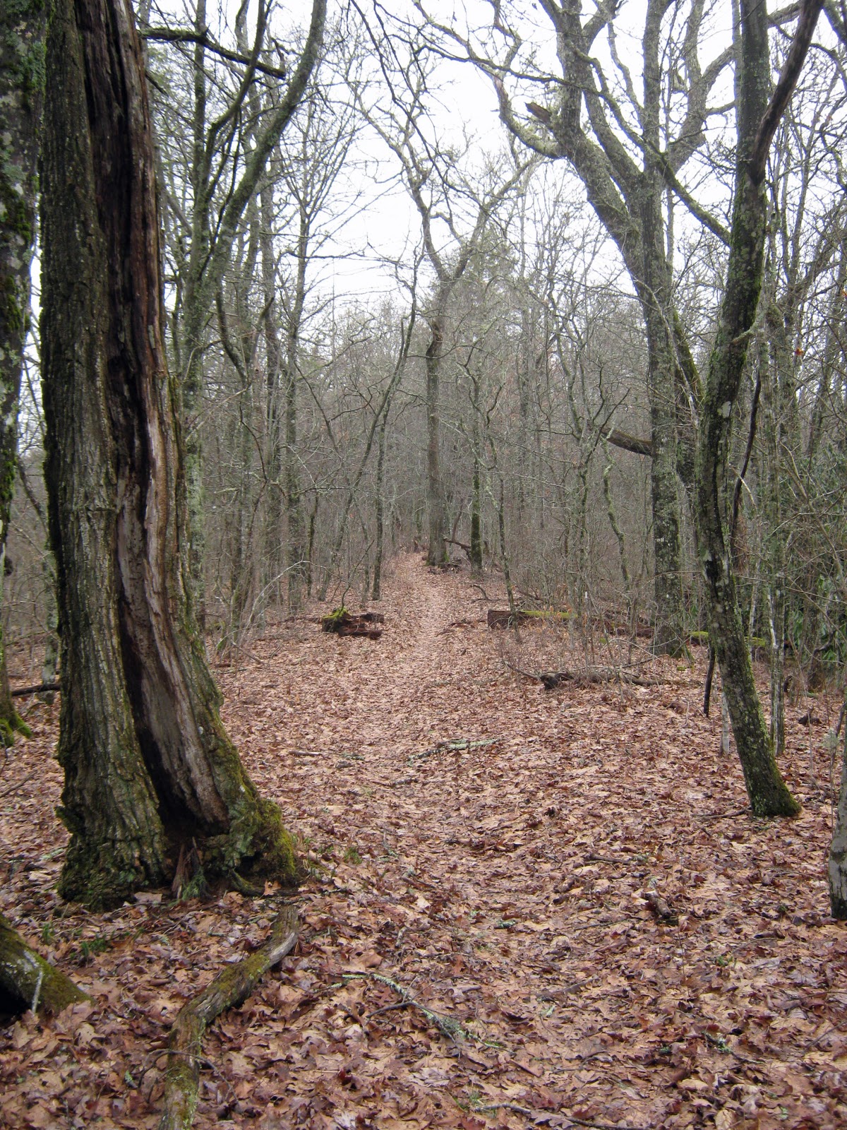
After visiting the slave cemetery I set out on the Mingus Creek Trail. The trail began as a wide, gravel road that is still used by National Park Service personnel for administrative purposes.
It very closely parallels Mingus Creek
and leads to the gun range that is used by NPS law enforcement rangers.
Soon after passing the gun range, the trail splits. To the left is the official Mingus Creek Trail, while the trail to the right leads to an old cemetery.
It was an .8 mile walk to the large cemetery. Like the nearby slave cemetery, many of the graves in this one are marked with simple field stones. One headstone has writing carved into it; the headstone of Polly Mathis.

From the cemetery I retraced my steps to the Mingus Creek Trail and continued on my way. I found an interesting piece of metal along the side of the trail, but I'm not sure what it was.
Perhaps part of some type of machinery? When I reached the Deeplow Gap Trail,
I opted to follow Deeplow Gap to complete the loop portion of my hike. Deeplow Gap Trail began with a descent, following Cooper Creek.
The trail crossed the creek several times, sometimes on sketchy, old bridges.
While this time of the year does not offer a whole lot to look at when it comes to vegetation, there was some interesting fungi
and club moss to observe.
Eventually Deeplow Gap Trail turned into an old road and soon enough signs of former home sites sprang up, most evident in the form of crumbling chimneys.

Soon after passing the chimneys I came to a junction with the Cooper Creek Trail. The Cooper Creek Trail is only .5 mile long, and so I took a quick side trip. There are a few bridges on the trail, but in some places the trail is more like a creek.
The other side of the creek is private property and a dilapidated log cabin is visible from the trail.
I reached the park boundary
and then turned around and headed back to the Deeplow Gap Trail. I started an ascent on the Deeplow Gap Trail and soon found myself at the Little Creek Falls.
With all the rain we've had recently, the falls were flowing pretty good. I admired the falls and then continued my ascent to the Thomas Divide Trail.

At Thomas Divide I turned right and continued to ascend. Earlier in the hike I had noticed how green many of the trees looked. Certainly it is too early for leaves to be budding out, so I was a bit perplexed. There must have been some high winds recently and the wind blew down some trees, branches and lots of old man's beard lichen.
The lichen looks really green right now, perhaps due to all the rain and warm temperatures we've recently had. It gave me the idea that perhaps the green on the trees is due to an abundance of lichens. I continued up to the ridge of Thomas Divide,
passing a few trees marked with numbered, metal tags.

Soon, I turned onto the Newton Bald Trail and followed it for a short.7 mile. Then I turned onto Mingus Creek Trail
to begin the return back to my car.
I passed over a section of ground that was littered with chestnut hulls.
It's unusual to find these in the United States as most of the chestnut trees have succumbed to blight. Slowly I switchbacked down, occasionally through rhododendron tunnels,
back to the mill and my car.

Sunday, February 21, 2016

Manhattan Project National Historical Park: Oak Ridge, Tennessee Unit

It was a rainy day today but Noelle, Sierra and I all wanted to get out f the house for a bit. I knew the most logical way to spend a rainy day outside the house was a museum visit and so we headed west to Oak Ridge and the new Manhattan Project National Historical Park. This is one of the newest units of the National Park Service and an unusual park in that it is spread over three units in three different states: Tennessee, New Mexico, and Washington. Because the park is so new, it is not completely set up yet. A visit to the Tennessee unit requires a visit to the American Museum of Science and Energy.

We arrived at the museum right at opening time: 1 pm. The staff did not seem quite ready for visitors when we arrived and so we milled around the lobby a bit
before they were ready for us to pay the $5 per adult entrance fee. There were some interesting exhibits about the town of Oak Ridge and the Manhattan Project. There were also lots of exhibits about energy; not just atomic energy, but coal, oil, etc. Many of the exhibits were outdated and there were several interactive science exhibits that did not work at all. It was a bit disappointing.

One of the highlights of the visit was that of a Flattop House which housed the workers who worked on the Manhattan Project.
There was also some interesting information regarding the Waste Isolation Pilot Plant in Carlsbad, New Mexico. The exhibit talked about why that site was chosen and what its purpose is. Overall, I would say that the museum could use some work. As I mentioned earlier, many exhibits seemed old and some others were too wordy. It should be interesting to see how the National Park Service partners with the existing museum in the future. Of course before we left we had to get our Passport stamps.
Then we got in the car for our drive back to Greeneville.

Sunday, February 7, 2016

Great Smoky Mountains National Park: The Chimney Tops and Road Prong

Today I hiked one of the most popular trail in the Great Smoky Mountains National Park. I had hiked to the Chimney Tops before, but the last time was almost 10 years ago! Needless to say, I didn't remember too much about the previous hike. However, having hiked it again it is obvious why it is such a popular trail. I needed to fill in blank spot on my map; the Road Prong Trail, and since I would be hiking a portion of the Chimney Tops Trail to get to Road Prong, I figured I might as well hike the extra 2.2 miles roundtrip to see the view from the Chimney Tops.

The hike started off with lots of water
and bridges for crossing the water.
There's cascading water all over the place in this section of the park!
The trail closely follows stream and then starts to ascend steeply utilizing well-built stone and wood stairs.
Eventually the trail ascends to a wonderful overlook of the surrounding mountains.
However, the climb is not over at this point, just around a bend in the trail another overlook offers a view of the ultimate destination for the hike: the Chimney Tops (or at least one of them)!
The final section of "trail" is one of the most exposed in the park.
It's actually a scramble up slippery, exposed rock. I carefully scrambled up this last section and found a nice perch on top in which to bask in the sun for a bit.
The view is impressive in that high mountains completely encircle the Chimneys.
I relaxed and enjoyed the view for a bit before scrambling back down to the base for my hike back to the junction with the Road Prong Trail.
I stopped to watch an ant-like climber make his way up the rock.

The trail up Road Prong had a much different feeling than the well-traveled Chimney Tops Trail. It was much narrower and not as smooth. Fallen trees blocked the path in a few places. There were lots of cascades on the trail's namesake Road Prong. There were even two that were high enough to be considered waterfalls.
At times the trail followed Road Prong itself. The icy water was higher than normal levels due to recent snow melt. Exposed rocks were coated with an icy glaze. I opted to wear my microspikes for the stream crossings. The highest portions of the trail were rocky
with patches of snow.

Soon I found myself at an intersection with both the Appalachian Trail
and the Clingman's Dome Road. I rested in the sun there, read the roadside interpretive panel,
and ate a snack before turning around to make my way back to the car. The return hike went fast. Stopped to admire some of the frost flowers that decorated the trailside
and one particularly green and mossy section of woods.
By the time I had made it back to the Chimney Tops Trail, the hikers were out in full force. There were lots of people and families out taking advantage of the pleasant winter weather.