Wednesday, April 28, 2010

Jay Cooke State Park: Carlton/Thomson Trails Loop


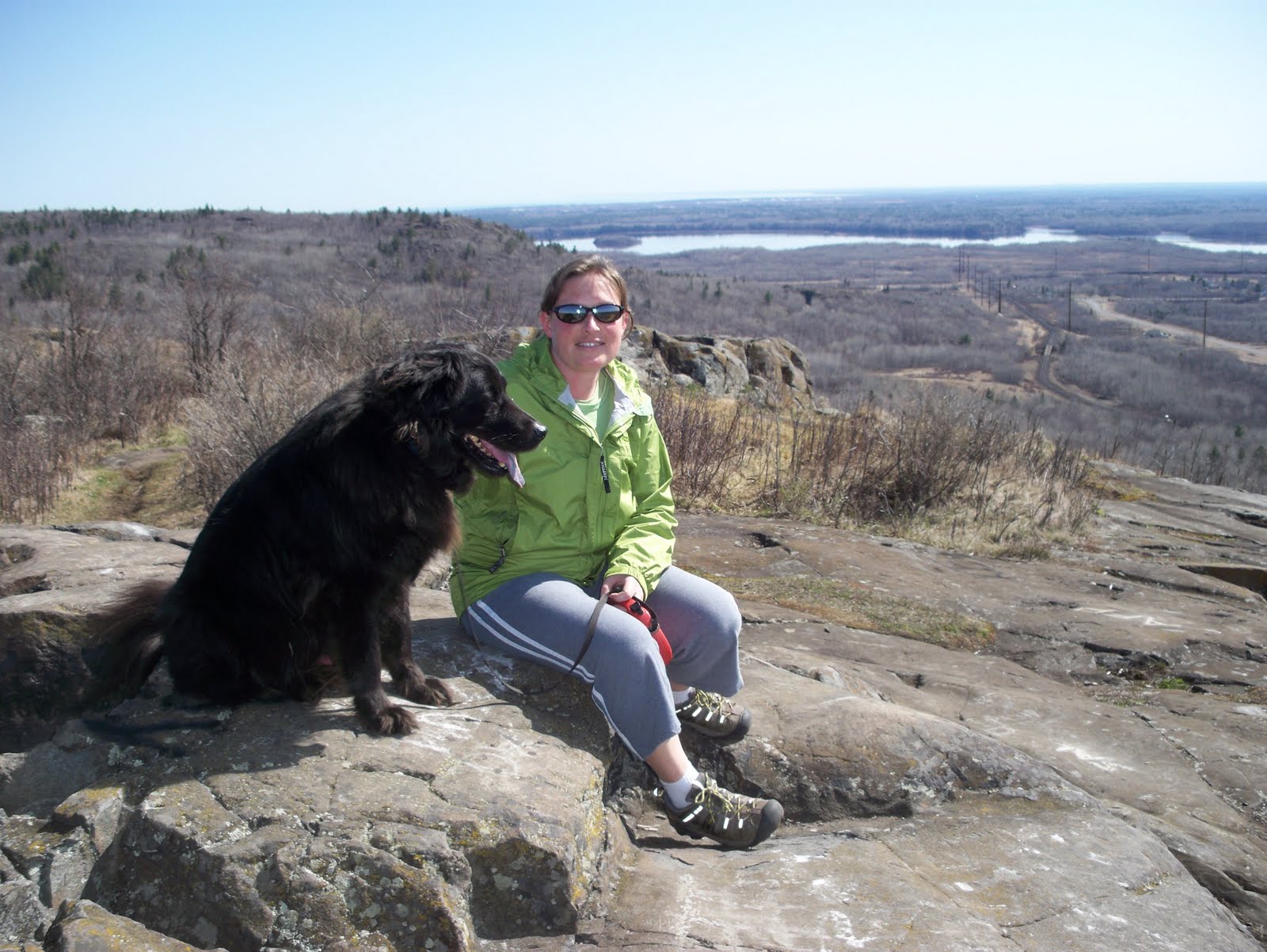
It was a fairly decent day for hiking today, and being my short day at work I just had to get out and enjoy it. I decided not to head too far away, and so Jay Cooke seemed to be a good choice for a hiking location.

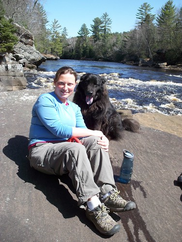
I drove to the visitor center where I parked and hit the trail, crossing the St. Louis River on the suspension bridge. Once on the other side I began following the Carlton Trail. The trail was nice in that it closely followed the river. While I didn't always have a view of the river, I could at least hear the sound of water flowing over the rocks and churning through the rapids.

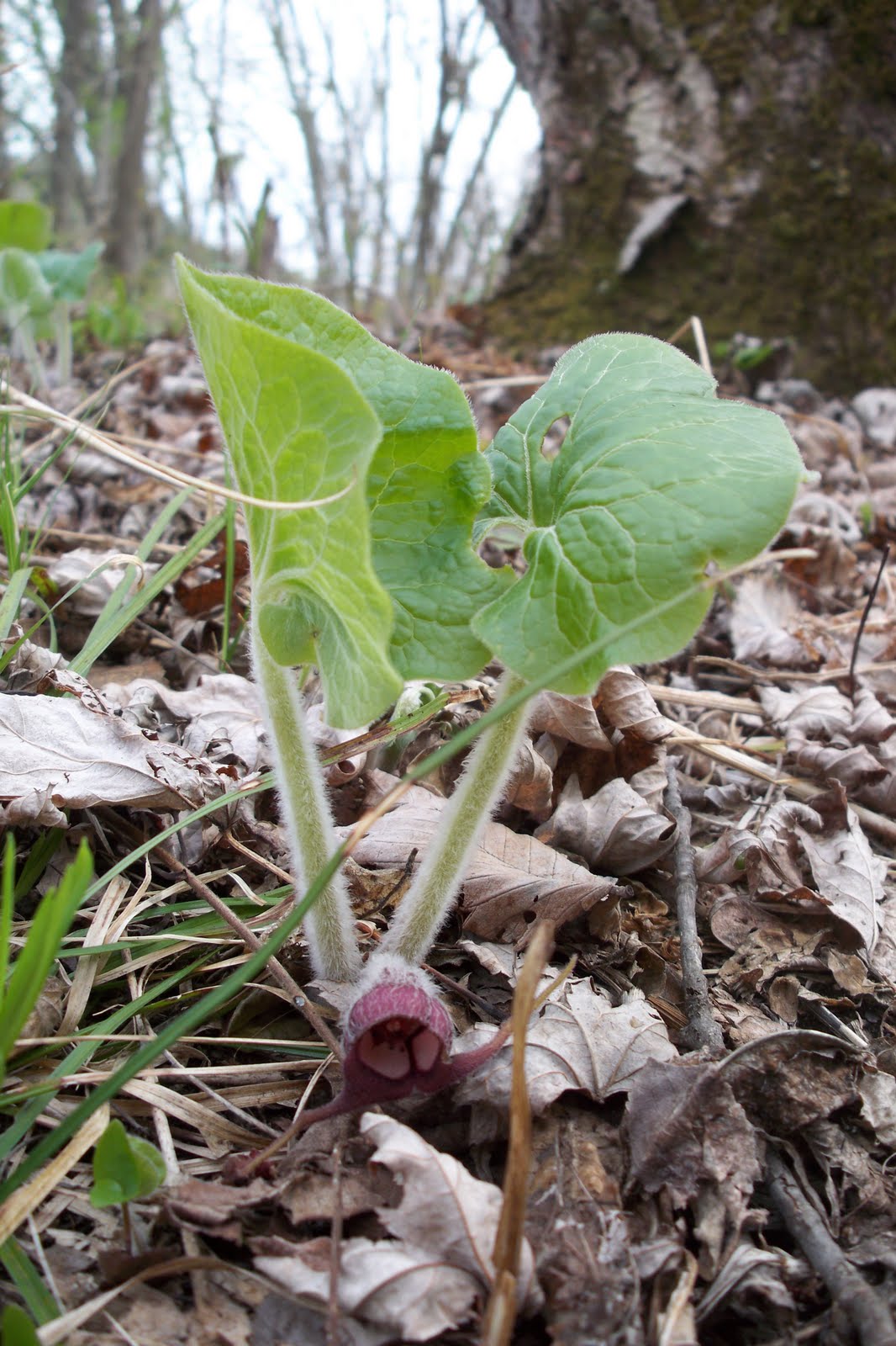
I saw a few wildflowers, a squirrel, and plenty of tilted graywhacke along the hike which soon left the river to follow Otter Creek for a short time. Shortly thereafter, the trail crossed the creek and intersected with the paved Willard Munger Trail. I followed the Munger Trail to an old railroad trestle that crossed the St. Louis River. The bridge passed over a particularly scenic section of river with lots of rapids and a deep little gorge.


From the Munger Trail I made my way to the Thomson Trail which I followed to the Pioneer Cemetery and eventually back to the visitor center and my car. It was a nice easy warm-up hike for my upcoming Superior Hiking Trail backpacking trip.

Sunday, April 25, 2010

Banning/St. Croix State Parks


I've been a little bit depressed about my job situation and I decided I needed to get out for a hike to clear my mind today. I packed my pack and headed south to Banning State Park. Noelle and I had visited a few weeks ago and there were some interesting aspects of the park that I had learned about an wanted to see; namely Wolf Creek Falls and Bat Cave. On the drive, however, I got really hungry and decided to head into Hinkley to get some food. This food stop brought me close to St. Croix State Park and I decided after lunch to make this a two park day.

After finishing my Taco Bell I headed into St. Croix State Park to hike the Hiking Club Trail. Almost immediately after entering the park I saw a porcupine crossing the road. After taking a few photos I headed to the trail. The trail at first paralleled the St. Croix River and then looped through some restored oak savannas. The most interesting aspect of the hike came at the halfway point. It is here that I spent some time on an interpretive trail checking out the remains of CCC Camp Yellowbanks. All that remained were the Rec Hall's chimney and some stone stairs and flagstone walkways. There were surprisingly few wildflowers to be seen along the trail. The only ones I saw were some spring beauty.

After the hike I took the back way to Robinson Park in Sandstone, which contains a trail that connects to the trail system at Banning State Park. The trail was quite interesting passing through an old quarry, under a railroad trestle (from which some kid was hurling rocks dangerously close to me until I yelled at him), and between sandstone bluffs and the Kettle River. This time plenty of wildflowers were to be seen including trout lilly, wild ginger and marsh marigold.

There were a few species that looked as if they were about to bloom within the next few days as well, in particular there was trillium all over the place.

I kept hiking along the river and passed hundreds of trees that had been girdled and gnawed on by beavers. Eventually I made my way to the lovely Wolf Creek Falls. From there I hiked a short loop and returned to the falls. I hiked out on the trail I had come in on, this time paying close attention in an effort to find Bat Cave. Sure enough I was able to find a faint path heading up hill to the cave, just a tall, deep alcove in the sandstone. It was gated to protect a bat hibernaculum and was an interesting site. I then headed back to the car and north to Duluth.

Sunday, April 18, 2010

The Brule-St. Croix Portage

Today felt like a good day to pay a visit to Wisconsin. Noelle and I packed up a daypack and the dog and headed east into the Badger State. Our destination today was the portage between the Brule and St. Croix Rivers which effectively connected the Mississippi River and Lake Superior for the voyageurs and Native Americans. The trail-head is located in Brule River State Forest near Solon Springs, Wisconsin.

The weather today was again beautiful and as soon as we stepped out of the car we were treated to views of wildflowers, especially hepatica.
The portage trail also happened to be a segment of the North Country Trail. We were able to sign a trail register to record our visit shortly after beginning our hike. The trail was also marked with boulders which had engraved metal plaques bearing the names of some of the known users of the old portage. These users included Henry Schoolcraft, the "discoverer" of the source of the Mississippi River near present-day Bemidji, Minnesota.

After about an hour of walking and a visit from a porcupine that Parker got really excited about, we had made it to the headwaters of the Brule River. The river was quite shallow at that point. So shallow, in fact, that it is difficult to imagine being able to float a canoe in the water. We stopped and basked in the sun there for a while before retracing our steps to the trail-head.

Saturday, April 17, 2010

George Crosby Manitou Hiking Club Trail


I know I'm a big nerd. After the race earlier today Noelle and I decided to head up the north shore and do some hiking. Being pretty close to achieving my first Hiking Club award (25 miles) I decided that we should head over to George H. Crosby-Manitou State Park to hike the 4.2 miles of Hiking Club Trail. I had been to the park before, back in October to hike the loop described in 50 Hikes in Minnesota. This time Noelle would be there with me to experience this rugged little gem of a park.

We drove up the north shore with a short stop in Two Harbors for lunch at Culver's. After that we moved up past beautiful scenery on another beautiful spring day. It looks like the aspens are starting to leaf out a bit, which is quite exciting. We got to the park at around 1 o'clock and headed up the Humpback Trail. The hiking wasn't too difficult and we made pretty good time. Soon we were at the elusive Hiking Club Password sign. From the sign, the trail paralleled the Manitou River and we were treated to the sights and sounds of a cascading waterfall.
We stopped to rest for a bit, and then headed back to the car.

Leaving the park, a rough gravel road meanders through the flood plain of the Baptism River and we were treated to views of beaver dams and some loons! When we made it back to pavement we decided to head over to Tettegouche State Park for the obligatory stop to check out Shovel Point. I rested on the rocky beach there while Noelle looked for agates. Another great day in northern Minnesota!

Fitger's 5K


Woke up early this morning, ate a banana and drank some orange juice, and then I ran down the hill to the start of the Fitger's 5K. The weather was cool this morning but it was warmer than the Gobble Gallop. I got off to a pretty good start and started up in the front at about the perfect spot for me. The only problems encountered were the slow people who can't seem to get the idea that they should start in the back of the pack. I did some weaving through traffic, but not as much as I usually do.

Anyway I felt pretty good and finished under 21 minutes. I was 55th overall out of 1,500 runners. I know that if I were to train for another race I could run even stronger. Results can be found here.

Wednesday, April 14, 2010

Willard Munger Trail: Duluth to Jay Cooke SP

Today was NOT another beautiful day in northern Minnesota. It was cloudy, windy and gray this afternoon when I decided to go for a bicycle ride on the Munger Trail. I drove to the northern trail-head in West Duluth and starting riding south gently uphill. My goal was to ride to the visitor center at Jay Cooke State Park. After about three miles I came to a trail shelter and stopped to contemplate turning around. It was starting to look even darker up ahead. I refused to turn around though and pushed on further south.

I rode past Ely's Peak, site of an earlier adventure, and stopped again under an old Mission Creek Parkway overpass. It really felt like rain this time, but I was stubborn and wanted to see what lay ahead. Soon it started to drizzle. I still could not bring myself to turn the bike around. I wanted to make it to at least the state park boundary.

When I did make it to the park boundary the sky really opened up. It rained pretty steadily. I took shelter in a strange concrete column/shelter filled with graffiti from the 1930s and 1950s.
It began to rain harder. I finally accepted the fact that I would be riding my bike downhill in a steady, cold rain. When I made it back to the car I cranked the heat and shivered all the way home.

Sunday, April 11, 2010

Ely's Peak and Tunnel


Not to sound like a broken record, but it was another beautiful day in northern Minnesota. Today Noelle and I planned on hiking with Parker a little bit closer to home. We decided to make the ascent of Ely's Peak on the Superior Hiking Trail. I'd hiked up Ely's before in October of last year. I thought it would be nice to hike up again with Noelle.

We drove to the trail-head off of Beck's Road and were soon hiking along the Munger Trail. Then the Superior Hiking Trail diverged to the left and we steadily climbed up to the summit. The views were really nice and we even saw a large fire in the distance which was quickly extinguished. We surmised that the fire was probably a training exercise at Lake Superior College. I had read about a tunnel going through the peak which was part of the old, abandoned DWP (Duluth, Winnipeg and Pacific Railway), but we saw no signs of it on our way up.

We decided that a user trail which diverged to the left of the Munger Trail at just about the same point as the Superior Hiking Trail would probably lead us to the tunnel, and so we decided to follow it. Our intuition turned out to be correct. After following the user trail for about a quarter mile we found ourselves on the old DWP grade and just to the left was the east end of the tunnel.
Ely's Peak Tunnel Silhouette
We walked into the tunnel and through to the other side. The walls were of course covered in graffiti and there was a lot of rock rubble and beer cans littering the ground, but it was still an interesting experience. After a short time we retraced our steps to the car.

Saturday, April 10, 2010

Banning State Park

Noelle & Parker at the Rapids

We knew today was going to be another beautiful spring day in northern Minnesota and so last night Noelle implored me to think of a destination for some exploration. I thought that a trip south on I-35 to Banning State Park in Sandstone and a side trip to the Geology Museum at Moose Lake State park sounded like a nice diversion.

This morning we woke up, ate breakfast, and readied the Civic for the dog by placing a blanket across the back seat. The drive on the interstate went fast and before we knew it we were in Moose Lake. The geology museum there is small, but it offers some really amazing specimens of Lake Superior Agates. We spent about 20 minutes checking out the museum while Parker waited in the car and then we headed further south to Banning.

Banning was one of those places that we didn't know much about. I had no idea what to expect but the park exceeded my expectations. We hiked a combination of the Hiking Club hike and the loop described in our 50 Hikes in Minnesota book. It turned out to be one of the most interesting hikes we've been on so far in Minnesota.

The hike started at a boat landing and paralleled the Kettle River past some nice little riffles and small rapids. We stopped at a nice little overlook and then retraced our steps to the MCC Trail. The MCC Trail ascended a small bluff where it intersected the Quarry Loop Trail. We quickly entered an old quarry on an old rail line where the hike got really interesting.

The walk through the quarry offered views of steep sandstone walls. Huge slabs of sandstone and little piles of small rocks called spall littered the forest floor. Soon we made our way to a trail intersection where we followed a really rough trail to the Hell's Gate rapids, said to be the toughest set of rapids in Minnesota. We stopped on a nice flat slab of sandstone to rest and eat a snack.

After lounging in the sun and eating our granola bars we retraced our steps to the trail junction. We got back on the Quarry Loop Trail and were soon treated to views of some relics of the quarry operation. We saw the ruins of the power house, the old stone crusher building and some old metal rings attached to the rock.

Shortly after viewing the ruins we were back at the car. We decided to drive to a short quarter mile hike to what was labeled as Big Spring Falls on the park map. The hike was easy and the falls were pretty impressive. They reminded me of a mini-version of Sandstone Falls in the New River Gorge in West Virginia.

Wednesday, April 7, 2010

The DWP "Trail"


I had read a little blurb online about the DWP Trail in Duluth. On Google Maps it is shown as the Grant in Aide Trail, but in all actuality the trail does not exist. Parts of the old railroad grade are used in a network of snowmobile trails. I think that it would make a great bicycling trail even though it runs parallel to the already in existence Willard Munger Trail. Some careful research even revealed that a portion of the railroad grade even runs through a tunnel through Ely's Peak.

Today we did not go to the tunnel, but Noelle, Parker and I did go for a short walk on the old railroad grade before we lost it inside the Spirit Mountain complex. The section where we lost the trail, however, turned out to be the most interesting part of our walk. We paralleled what we believe is Knowlton Creek and were treated to nice views of pretty little waterfalls and cascades.

Eventually we made it to Grand Avenue. We crossed the road and hiked back to where we parked the car near the Lake Superior Zoo.

Sunday, April 4, 2010

Hixon Forest


Happy Easter. Today Noelle, Mom, and I drove down to LaCrosse to explore Hixon Forest. it was another beautiful day for a hike, and other than the confusing lack of signage at trail junctions we enjoyed the walk.

We started our hike by walking along a gravel road along a golf course. Soon we picked up the Bicentennial Trail which we followed up to the bluff top. We saw our first Bloodroot flowers of the season and soon found ourselves at the local NOAA National Weather Service office.
We then headed back into the forest and were soon at a wonderful overlook which afforded great views of the surrounding bluffs and the city of LaCrosse. We enjoyed the view for a few minutes before descending back down to the gravel road and the car.

Saturday, April 3, 2010

Back to Perrot State Park


For the Easter weekend Noelle and I headed down south to Galesville to spend the holiday with family. I must say it is really amazing what a difference 200 miles and no cold water lake makes. While the grass in Duluth is brown, the breezes cold, and the trees budless; here in Galesville it really feels like spring. Birds are chirping, the grass is green, shrubs are starting to leaf out, and most importantly flowers are blooming!

We decided to spend our Saturday in Perrot State Park on the banks of the mighty Mississippi. The last time we visited this park conditions were quite different. Anyway, today we hiked in the warm sun and saw our first wildflowers of the season: some rue anemone and pasque flower.
We hiked up to Perrot Ridge where we were treated to a wonderful overlook of the Mississippi and the surrounding bluffs. Then we headed back down to the car. Another successful day out of doors.