Thursday, July 9, 2015

Blue Ridge Parkway: Sharp Top Hike

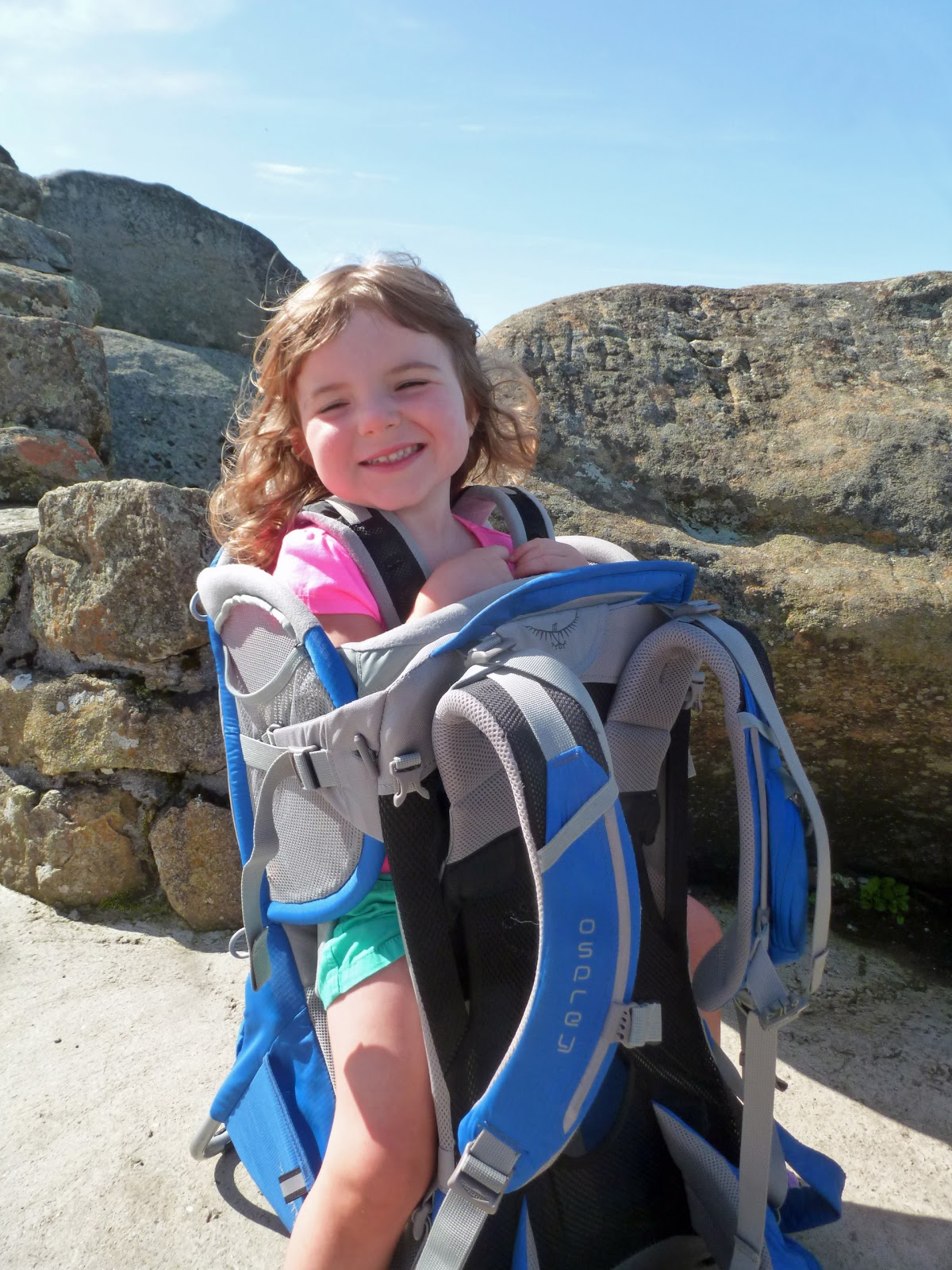
We woke up in our campsite to a clear, blue sky. We ate breakfast, packed up camp and headed over to the nature center to begin our hike up to Sharp Top. The hike is listed as a strenuous 3 mile round-trip hike. It felt strenuous with Sierra in the back pack.

The hike started with a gentle ascent on a wide, heavily used trail.
We saw a few wildflowers as we hiked, including milkweed,
squirrel corn,
and the last of the year's columbine blossoms.
Soon the hike got much more difficult. There were lots of rock stairs to climb.
The climb seemed unrelenting. We finally got a short break at a flat area near the junction with a side trail that lead to Buzzard Roost. We opted to save the Buzzard Roost for the return hike though. Soon we found ourselves amongst the rocky crags of the summit area.
We still had a few sets of stairs to contend with though. The stairs and trail wound amongst impressive rock formations.
Then we reached the summit.
There were lots of great views in all directions.

Medallions set into the concrete walls of the summit area pointed out area landmarks, including the Buzzard Roost.
There was one particularly impressive view down towards the Peaks of Otter Lodge and Abbott Lake.
I climbed the highest rock for Noelle to photograph me on the summit.
Meanwhile, Sierra started to chill a bit in the stiff wind.
We started our descent.

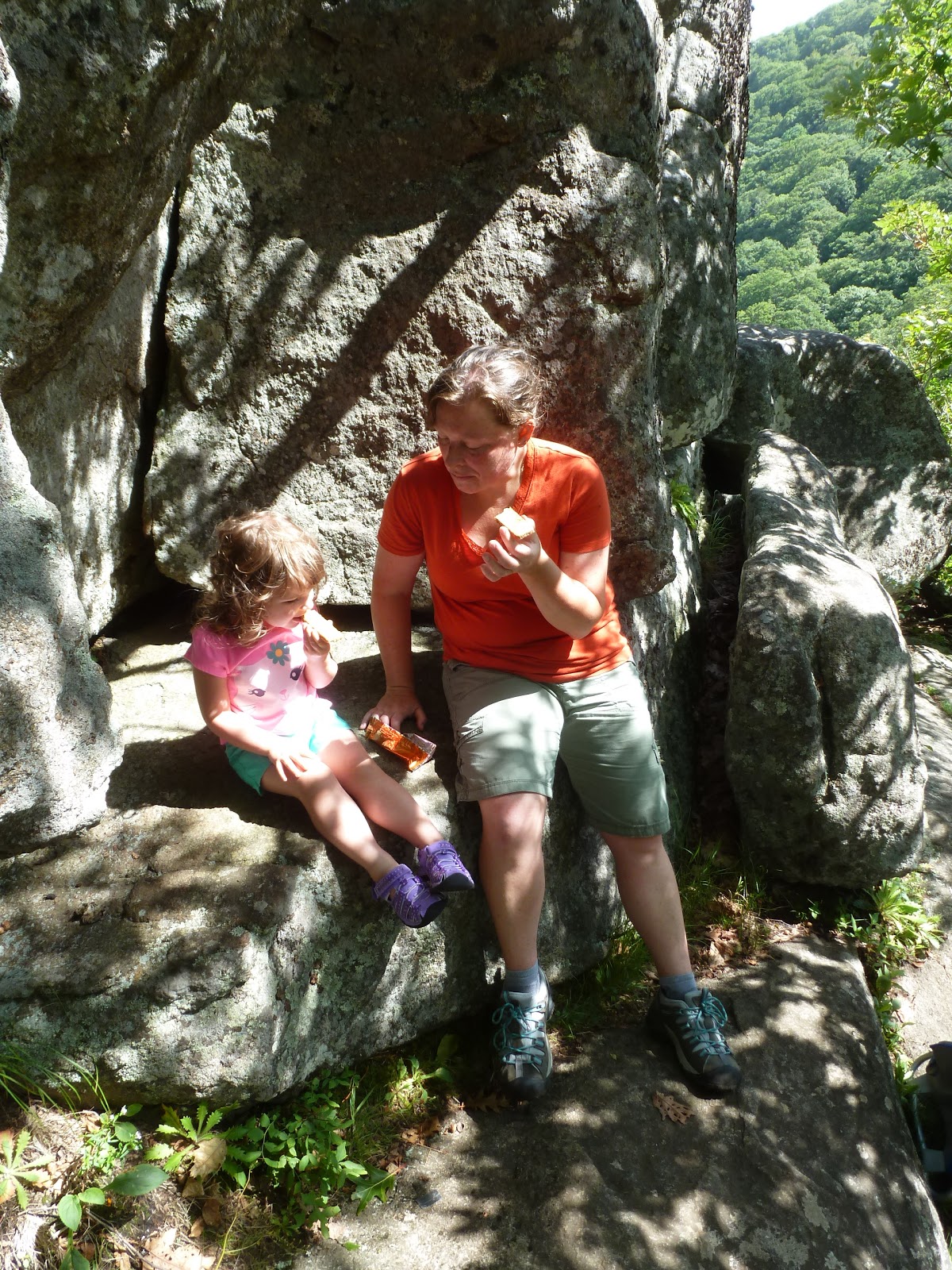
On the way down, we headed over to Buzzard Roost to check out the view. It was a jumble of large rocks and too dangerous to take Sierra out on. Sierra and Noelle ate a snack
while I climbed amongst the boulders to check out the view.
After a few photos from the Buzzard Roost I rejoined the girls and ate a snack with them.
Once everyone had had their fill of snacks we continued our descent down to the nature center. The center was opened, and so we checked out the animals inside before heading back to the car to continue our drive north.

Wednesday, July 8, 2015

Blue Ridge Parkway: Mabry Mill

The Great Grunwald's Family Summer Road Trip of 2015 has officially begun. We packed up the car this morning and hit the road headed north. Our eventual destination would be my parent's house in Pennsylvania, but today we were headed to the Blue Ridge Parkway. After a lunch in Bristol, we drove north on I-81, then south for a short distance on I-77. Then we were on the parkway. It was a short drive to the Mabry Mill.

Mabry Mill is one of the most iconic and photographed locations on the Blue Ridge Parkway. None of us had been here before and we were excited to get out, stretch our legs, and explore. We walked a path
lined with rhododendron
to an overlook of the mill
and then continued on passing the millrace,
which transports water to the waterwheel. We went inside the mill to check things out, but it was not grinding anything today. There were some pretty flowers in bloom outside the mill
and an exhibit that featured some old millstones.

We continued on past an old cabin
and a "hidden" moonshine still out in the woods.
We then made our way back to the car for the pleasant drive through scenery that wasn't spectacular, but that I would describe as pastoral or bucolic. We finally arrived at the Peaks of Otter Campground just as rain was threatening. We set up camp quickly, waited out a quick rain, and then cooked and ate dinner in our campsite in the virtually empty campground.

Monday, July 6, 2015

Great Smoky Mountains National Park: Forney Ridge, Springhouse Branch, Noland Creek, Noland Divide Loop

Finally, a day without a high chance of rain in the forecast. We've been getting a deluge lately, after a very dry June. I decided to take advantage of the favorable forecast by heading over to the Smokies for a hike. I parked the car at the Noland Divide Trailhead and began my hike with a walk along the Clingmans Dome Road.
There were some views through the clouds off to the side of the road
and I even got to see some wildlife in the form of a snail crossing the road.
I was headed over to the Forney Ridge Trail which I had hiked just a few weeks ago. This time I would be walking a loop in the opposite direction from the one I did then.

It was cool and refreshing to walk through the mist and spruce/fir forest at the beginning of the trail.
There were lots of wildflowers in bloom, including purple fringed orchis,
Turk's cap lily,
Indian pipe,
and some assorted others,
including trillium, which is no longer in bloom, but which has its bright red fruit.
There were also lots of mushrooms.
Soon I had made it to Andrews Bald.
The scene was much different today than it had been a few weeks ago. There were very few flame azalea still in bloom,
and the clouds gave the area a much different feel. I found a few blueberry bushes, but unfortunately the fruit looks to not be ready for another few weeks.

I made my way back into the woods and down the narrow, overgrown Forney Ridge Trail. I would hike through sun dappled areas for a bit and then back into the fog and clouds.
There were lots of toads out and about.
Soon I made it to the junction with the Springhouse Branch Trail where I turned left.
A horse trail, it was very muddy with lots of areas where horses had post-holed up to a foot deep into the muck. As I approached the Noland Creek Trail, I started to see evidence of former habitations. There were fence posts, rock piles, walls and even a partially intact chimney.
I stopped to eat a snack at Campsite 64, which lies at the junction of the Noland Creek and Springhouse Branch Trails. Some butterflies provided me with company.
Then I moved on.

The Noland Creek Trail closely followed its cascading namesake.
There was a trail crew out working on a new log bridge across the creek.
I was allowed to cross it and was told that I was one of the first to set foot on it. On the other side of the bridge was an unmarked trail junction. I opted to head past some building ruins and up a hill. The trail led to an old cemetery.
There were quite a few graves and the soil on top of each appeared to be freshly mounded. I guess it is a local tradition. I then retraced my steps back to the main trail and followed alongside Noland Creek.

I took the Noland Creek Trail to a four-way intersection and turned onto the Noland Divide Trail. I was starting to run out of energy by this time. There was some huge fungi
here and there along to the side of the trail. Soon, I found myself on an old road and passed an acid precipitation monitoring tower.
Shortly after passing the tower I was back at my car on the Clingmans Dome Road.