Monday, March 4, 2024

Golden Gate National Recreation Area: Presidio Tunnel Tops

The last stop of the day's field trip was the Presidio Tunnel Tops. This is a section of park created when Highway 101 was moved underground. The space on top of the highway is extremely pleasant with park space, gardens, children's play areas and more. The views are pretty spectacular!


I explored the park a bit and then took some time to head across the street to Chrissy Field. Again, there were wonderful views of the bridge and bay.


The Presidio Area, a decommissioned Army Fort, is very interesting. I wish I had more time to explore more of it. I guess I will just have to return some day. 

Fort Point National Historic Site

From the Golden Gate Bridge Welcome Center, we had a very short drive to Fort Point National Historic Site. The fort was built between 1853 and 1861 as part of a system of defenses to protect San Francisco Bay.


When the bridge was built, it was built in a manner as to protect the fort from having to be destroyed. The views from the fort, particularly the upper level are pretty amazing!


I found the lighthouse to be of utmost scenic value! I even photographed it from lower levels.


Besides the views, the exhibits at the fort tell the story of the people who served at this location. I wish I had more time to explore the exhibits, but there was just too much to do in the short time we had to visit the fort.


After a time exploring the fort, and watching people surf the small waves on the nearby waters, it was time to move onto our next stop, the Presidio Tunnel Tops. 

Golden Gate National Recreation Area: Golden Gate Bridge

Today starts my week in San Francisco participating in the Public Lands Alliance Convention and Trade Show. I arrived in town yesterday, after flights from Scottsbluff and Denver and a train trip on BART from the airport to my hotel in Union Square. This morning a field trip set off to explore the famous Golden Gate Bridge, Fort Point National Historic Site, and the relatively new Presidio Tunnel Tops. 

First stop was the iconic bridge. 


We had some time to walk around the bridge area and explore.


I even walked about a quarter of the way across the bridge, 


with great views looking back to downtown San Francisco. 

I was a little afraid of walking too far on the bridge and not making the bus for our next stop, and so I opted to explore a little bit more of the area in the vicinity of the Welcome Center. Just about everywhere I looked, there were great views of the bridge and bay. Especially down near a somewhat forgotten picnic area and Battery East.


Wildlife sightings included lots of gulls, some hummingbirds, and a banana slug!


After coming from a place where it is still winter, it was nice to see all the flowers in bloom!


After our short visit at the bridge, it was time to move on to Fort Point National Historic Site, just a short drive away.


Friday, January 26, 2024

Medicine Bow National Forest: Snowshoeing the Corner Mountain Loop

 We finally got a chance to use our "new" snowshoes! A couple of years ago the bindings on my snowshoes completely fell apart. I had gotten them back in 2000, and I think time had caused the plastic/rubber bindings to disintegrate. The same thing happened to Noelle's snowshoes about a year later. We opted to get new pairs at Jax in Cheyenne a few winters ago, but we didn't get around to using them until today. 

We checked out of our hotel in Laramie and drove west into Medicine Bow National Forest. We parked at the first trailhead past the town of Centennial, 


the Corner Mountain Trail. We strapped on our snowshoes and we were off into the snowy forest. 


The Corner Mountain Trail makes a loop of just over 2 miles. Honestly, since it was our first time snowshoeing in a ling time, it felt a bit longer than that. Sierra was a good sport, but she calls snowshoeing "overly complicated walking". 


The trail was mostly flat, with a few steep climbs and descents. Sierra took a few breaks to lie in the snow. 


A light snow fell for the second half of the hike. 


After our snowshoe, we headed into Laramie for lunch as Sweet Melissa and Sierra got a cupcake at Sugar Mouse Cupcake House.


Then, it was an uneventful drive back home to Gering. 

Thursday, January 25, 2024

Skiing Snowy Range 2024

Tuesday night, Noelle, Sierra and I made the drive to Laramie for our annual ski trip at Snowy Range Ski Area. Luckily, we had much better weather than we had last year. No issues with ice or snow on the drive. Yesterday morning we got our rental gear and hit the slopes.


It snowed on and off for most of the day. We had some really great runs, too!

This morning, we made the drive from town and hit the slopes. We skied the easier blue runs multiple times: Seminole, Arapahoe, Rawhide, the Drifters, and Great Escape mostly. It was a mix of clouds and sun, with minimal wind.


Besides the great skiing, we got to see a fox, up close and personal, in the parking lot at the end of each day. Noelle dubbed the fox "Four O'Clock Fox" since that's when the lifts shut down and the last skiers leave for the day. It's obvious that the fox is fed by departing skiers. 


Wednesday, December 20, 2023

Horsetooth Mountain Open Space: Horsetooth Rock via Wathen Trail

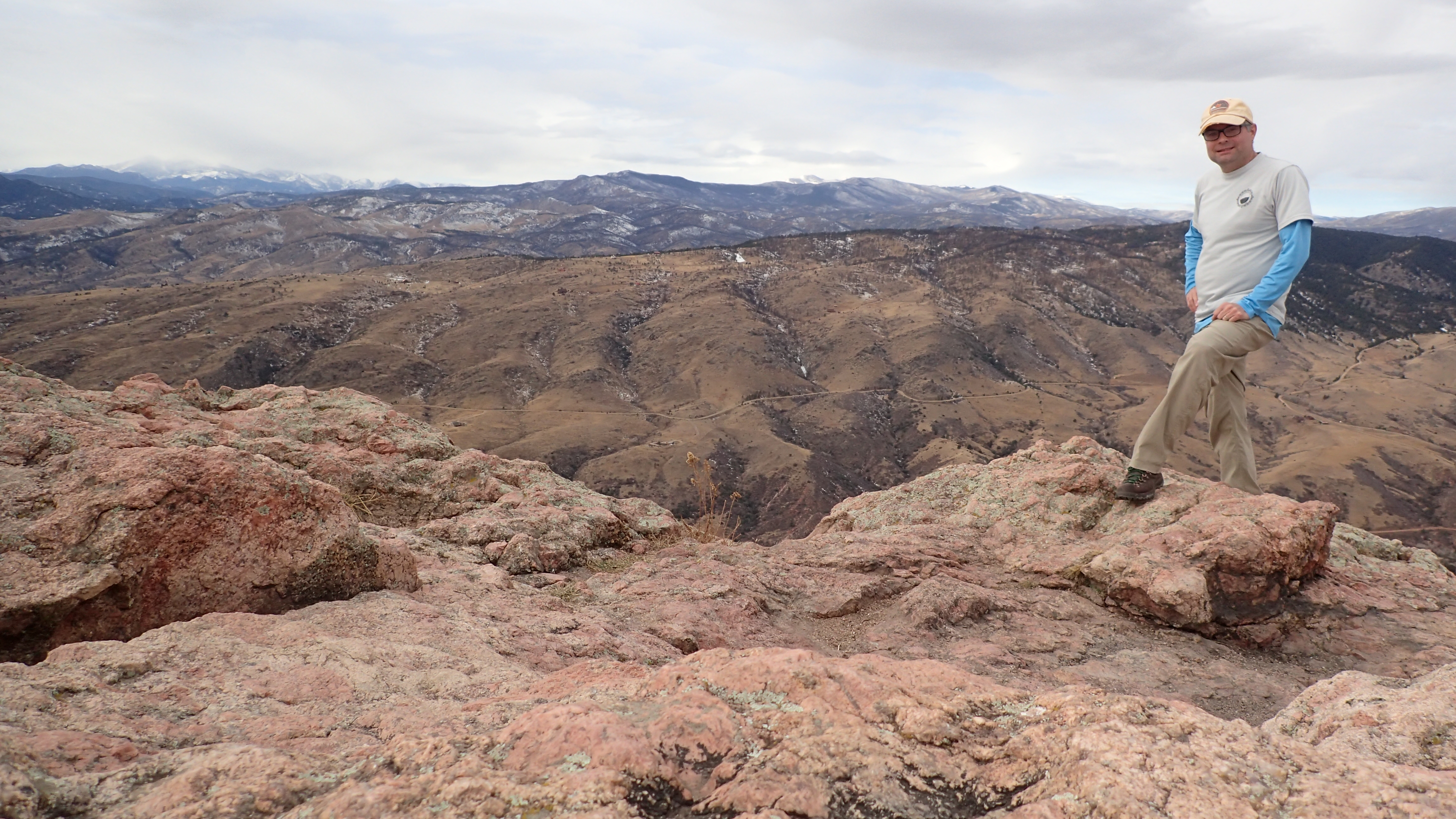
Today I decided to take an old pair of my work boots to a cobbler in Fort Collins. That meant a day of hiking. I opted to go to Horsetooth Mountain Open Space to hike up to Horsetooth Rock, taking a route I've never before taken: the Wathen Trail. It was an uneventful drive to the trailhead. When I arrived, I went to purchase my parking pass, but the machine was not working. I ended up not having to pay. I hit the trail, 


and initially headed towards Horsetooth Falls. Sierra and I had hiked to the falls back in June of 2022.

The morning was somewhat overcast, but there were still nice views of the smaller peaks of the foothills.


I hiked down to the falls and found it to be just a trickle. 


That's not surprising, given it was also a trickle last time we hiked to it when it should have been running higher with snowmelt. From the bottom of the falls, I made my way to the top. There is a series of pools with small cascades there.


There was also a small "balanced rock" that you can see from near the top of the falls.


After visiting the top of the falls, I returned to the main trail where I watched a female hairy woodpecker climb a ponderosa pine.


Besides the woodpecker, I spotted a few Stellar's Jays and some house finches. 

I continued the climb up the Spring Creek Trail to the Wathen Trail junction.


Once on the Wathen Trail, periodic views of Horsetooth Rock 


and the view over Fort Collins opened up.


I made the final climb to the summit and enjoyed the view up there for about 15 minutes.


For the decent, I opted to take the new Westridge Connector Trail.


This trail was badly needed. Last time I hiked up Horsetooth Rock, I hiked up from the Soderberg Trailhead on the Towers Trail. The Westridge Trail descended down quite a way before I was able to ascend up to the summit. I thought it was silly to descend. Now, hikers no longer have to make that descent as the connector trail eliminates it. Anyway, there were nice views from the new section of trail.


Once back to the car, I made the short drive to Rogers Shoe Repair and then to Funkwerks for a beer before the drive back home.