I got permission to go for a solo hike today. With a forecast of nice weather, I decided that a trip down into Colorado to hike the Round Mountain National Recreation Trail might be in order. I awoke at 5 am this morning, took the dog for a walk and then grabbed my gear for the drive. I was on the road by 5:30. I stopped at McDonalds in Cheyenne to grab breakfast to go and, after stopping for gas in Wellington, made it to the trailhead just west of Loveland by a little after 8 am. There were 3 other vehicles in the lot upon my arrival. I quickly readied my gear and then hit the trail.
The trail starts out as a wide, closed road.

There are some pretty nice views right off the bat.

I quickly turned off the nature trail and onto the "Summit Trail".

It seems the Round Mountain trail goes by two names; it's also known as the Summit Adventure Trail. Interestingly, it doesn't lead to the summit of Round Mountain, but instead Sheep Mountain. Talk about confusing. The trail starts on land that I assume is owned by the City of Loveland, but pretty quickly passes into Roosevelt National Forest.


I would say that the first two miles of the trail are the steepest. Beyond the first mile, views opened up west to the high, snow-covered peaks.


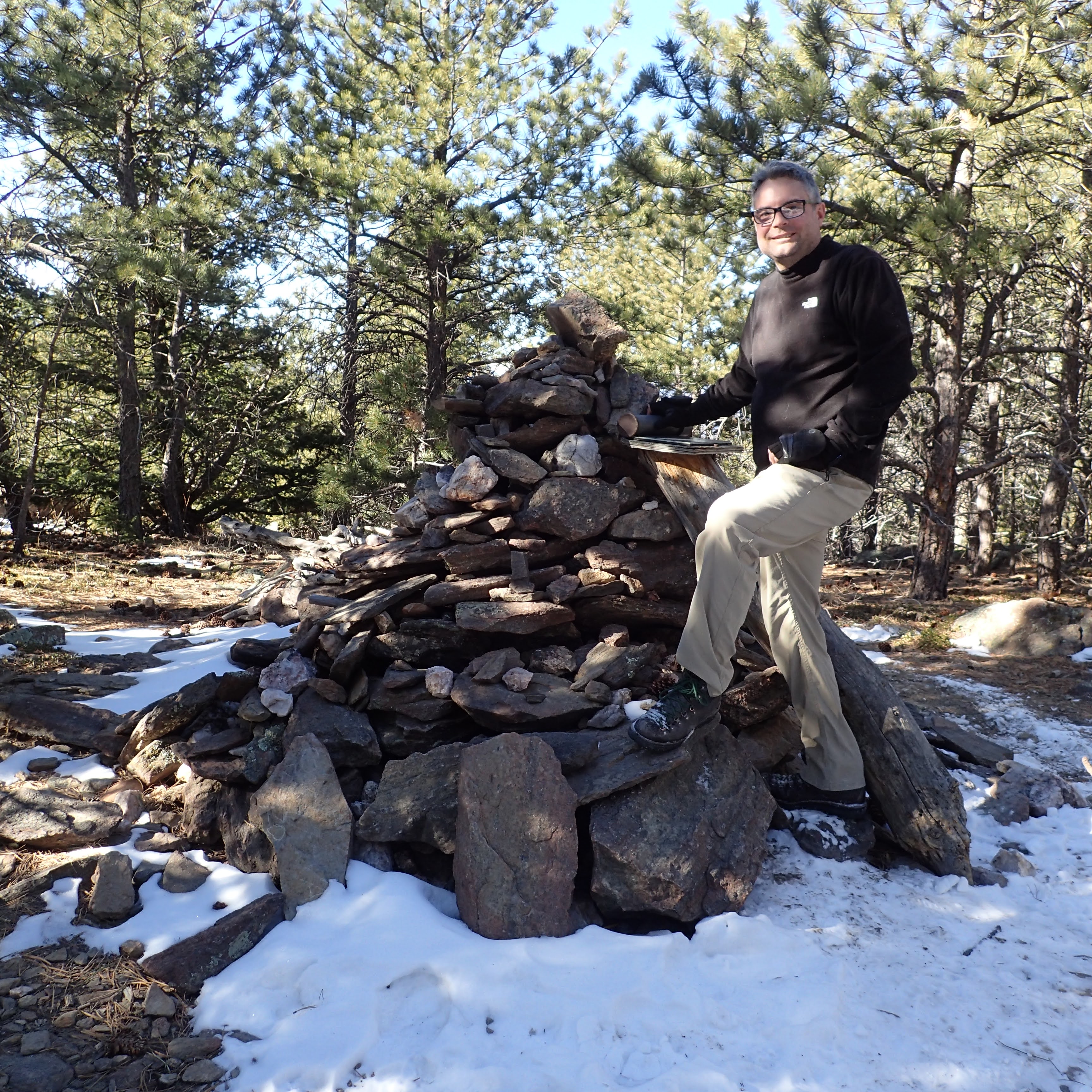
Beyond the rocky section the trail heads into the woods on the way to the summit. There are not any views from the summit proper. There is a benchmark at the summit

and a large cairn that I took a selfie at.
Embedded in the cairn is a metal cannister that contains the summit register.

I signed the register

and ate a snack, and then headed back towards the way I had come.
On the way down, I felt I had enough energy to take a bit of a detour. In between miles markers 4 and 3 there is a faint path that leads east. Just beyond the trail junction is a tree with a metal marker embedded in it.

The unofficial trail leads south of a ridge and you can catch intermittent views of Longs Peak and Mount Meeker through the trees.

After a short walk a view of Stone Mountain comes into view. That would be my objective for this part of the hike.


I met two guys from Greeley up there. I talked to them for a bit, had one of them take my photo, and then I set off to hike back to the car. The hike down went pretty fast, but I did take some time to enjoy the views down the Big Thompson River Canyon.

No comments:
Post a Comment