Friday, May 31, 2024

Pine Ridge Trail: East Ash to Roberts Loop

It was a cool, overcast morning and I wanted to get out to do some hiking. I opted to head back to the Pine Ridge Trail. Today I would hike a new section: East Ash Road to the Roberts Loop. Last time I hiked the Pine Ridge Trail I had brought Rosie along and we pulled over 30 ticks off of her. I opted to go without her today. Even without her, ticks would be the theme of the day.

I parked my car just to the west of East Ash Road and hit the trail. Immediately, I found my first tick of the day.


I crossed East Ash Road and headed east.


I would be headed 7.3 miles to the Robert's Trail and then back again; 14.6 miles round-trip. Almost immediately I passed into the Pine Ridge National Recreation Area.


The trail here followed the bottom of a small canyon, 

filled with Eastern Red Columbine!


Besides columbine, there was spiderwort, pussytoes, and death Camas.


The trail climbed up out of the canyon and there were awesome, though overcast views.

Later in the day, I would pass the same scene, but with blue skies!

Up in the highlands, the trail followed a road for a short period and intersected with the Great Plains Trail.


Then the trail descended into another canyon. This one with some pretty steep drop-offs.


I traversed the slightly overgrown trail at the bottom of the canyon and enjoyed more columbines.


While the lush canyon was beautiful, the ticks were plentiful.

The spots on my pants are ticks!


Near the mouth of the canyon, a group of cattle watched me warily from a distance.

A sign located at the point where the trail leaves the canyon indicated the creek I had been following is called Cunningham Creek.


Here the trail followed a fence line for a bit.


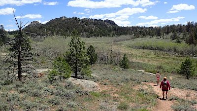
Then, I started to climb up to the junction with the Roberts Loop. Views were pretty awesome!


I stopped at the junction with the Roberts Trail to take a break.


I pulled up the legs of my pants to do a tick check and did not appreciate what I found.


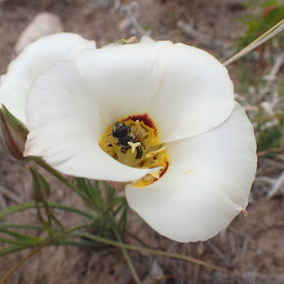
After pulling almost 60 ticks off of my legs, back, head, and other body parts, I turned around to make my way back to the start of my hike. Flowers observed on the way back included sego lily an white penstemon.


The sky cleared by the time I was in the homestretch of the hike and the views I had seen earlier seemed a bit cheerier with blue sky. 


I made it back to the car for the drive home. Along the way I pulled probably over 50 ticks off my body. It had been an enjoyable hike, but I probably won't return to the Pine Ridge until fall. There's just too many ticks right now. 

Monday, May 27, 2024

Medicine Bow National Forest: Blair Loop

For the first time a while, Noelle, Sierra and I all had a day off together. We decided to get out and enjoy it by going for a hike in the Vedauwoo area. I pulled out my copy of Marc Smith's Hiking Wyoming's Medicine Bow National Forest and selected a hike in the vicinity of the Blair Picnic Area.

On the way to the trailhead we made a stop at Silver Mine Subs in Cheyenne to pick up lunch. When we arrived at the trailhead we found a convenient picnic table and ate our lunch.


Even from the picnic area the scenery was pretty nice. It featured the rugged rock formations that the Vedauwoo/Pole Mountain area is famous for. 


With our bellies full, we set off on the trail for our hike. 


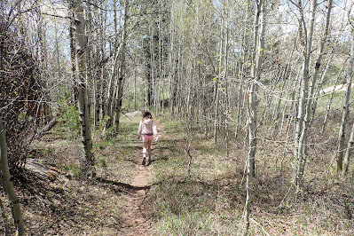
The trail began by heading through an aspen clone. 


Spring comes late to this area. Leaves a just starting to emerge from their buds. Pasquflower is still in bloom.


The first significant looking rock formation we approached was Brady Rock.


We passed a couple of families climbing at the base of the rock. Past the climbers a few timber shelters had been erected.


We continued on, heading down into a wet meadow with great views.


Here the guidebook suggested turning onto an unnamed trail to the right. Instead, we opted to lengthen our hike by turning left instead. We traversed the edge of the meadow.


Then headed down into the heart of the meadow.


Here our trail headed northeast towards Twin Mountain and Green Mountain.
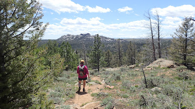


We passed through a gate and started to make our south.


While the lack of named trails or signed junctions can sometimes make hiking in this area confusing, we were able to use the map in the guidebook to navigate the area of meadows, aspens and distinctive rock formations back to the start.


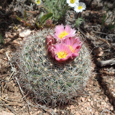
Just before reaching the car we found our first pincushion cactus in bloom!


Thursday, May 23, 2024

Horsetooth Mountain Open Space: Swan Johnson/Nomad/Sawmill/Stout Loop

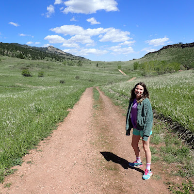
Today Sierra and I had a day to spend together and opted to head down to Fort Collins for some hiking, eating, and mini golf. Our first stop was Horsetooth Mountain Open Space. We drove to the Soderberg Trailhead and headed off on our hike on the Swan Johnson Trail. 


This trail headed north through grassy meadows dotted with wildflowers.


The trail stayed relatively close to the shore of Horsetooth Reservoir, and we took a short side trail to a cove of the lake where we rested and enjoyed the view.


After our short break, we continued north gradually heading towards Lory State Park. There were great views of the surrounding foothills.

We stopped periodically to drink some water, 

and to enjoy the wildlflowers.


At the park boundary with Lory State Park, we started to head back south on the Nomad Trail before detouring up into the hills on the Sawmill Trail. The higher Sawmill Trail offered nice views of the surrounding area.


Soon, we were back to the trailhead and ready for lunch at Young's Cafe!