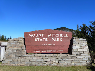
Interestingly, I wasn't quite sure where the trailhead for the hike actually was. I went to the end of the parking lot but only found an interesting CCC monument. Then I backtracked to the nature trail.
but still did not find the Old Mitchell Trail. Finally on the way down the paved path from the summit of Mitchell, I found the trailhead for the Old Mitchell Trail.
The Old Mitchell Trail made a steady descent through firs and spruces. The air was cold and fresh and smelled like fresh Christmas trees. The air warmed to the point where I no longer needed my hat or mittens. Eventually the trail started to ascend. It climbed quite a bit and then started to descend down to the park entrance road. I realized that Mount Hallback must be a short way off the trail at this point. I found a lightly vegetated slope and climbed it up to a small wooden sign with the peak's name and elevation painted on it.
After a short break on the summit of Hallback I headed back to the trail
which I followed down to the park office and entrance road.
I crossed this road and found a gravel road on the other side. I would follow this gravel road for a short distance before heading off into the woods for a bushwack up to the summit of Mount Gibbes. As I walked the road I noticed some icicles in the shady, wet areas and looked for any sign that might indicate a route to the summit. Soon enough I found some plastic flagging tape tied around the branch of a shrub.
This would be the start of my bushwack.
The vegetation was pretty thick along my route to the summit of Gibbes. There was a lot of dead and downed timber littering the slope. I bashed through it all for a bit and soon found myself at the top of a ridge. I followed the ridgeline to a rock that appeared to be the highest point around. There were signs near this point showing that it was on the boundary of both the National Forest
and the State Park.
I did happen to notice a more defined user trail leading away from the rock and so I began to have my doubts about the rock being the summit of Mount Gibbes. I followed this trail along the ridge and eventually started to ascend. I ascended a rock outcrop and then found a rock with a benchmark embedded in it. The benchmark labeled the peak as Mount Gibbes.
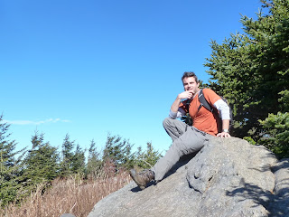
I relaxed and ate a snack on the summit. I then took a photo of myself there before retracing my steps along the ridge.
As I approached the rock I had initially believed to be the summit, I saw a cleared swath that led back in the direction of the gravel road. I'm guessing it was at one time a boundary line and my assumption that it led back to the road turned out to be correct. This proved to be much faster going than the way I had ascended. From the gravel road it was a quick return to the paved road and park office where I picked up the Commissary Trail and a hiking partner.
The Commissary Trail was actually a gravel road. The hiking partner that I picked up was a small, female hunting dog outfitted with a radio collar.
She stayed close to me as we hiked along the trail.
There were excellent views off to the side of the trail.
Eventually I came to an intersection. The gravel road continued straight ahead, but I would take a left and follow the Camp Alice Trail back towards the summit of Mount Mitchell. Near the intersection of the two trails was a small stream with a pleasant cascade that people had obviously camped at in the past.
The climb up the Camp Alice Trail was pretty steep, but there were a few nice views of Mount Mitchell to distract me.
As me and my canine hiking companion ascended higher we began to see more people and dogs hiking the trail. At some point my companion lost interest in hiking with me and likely joined up with some other hiking companions. When I arrived at the Mount Mitchell summit area, I descended back to the parking lot. For the last stretch of my hike I follow the trail that starts at the picnic area to the summit of Mount Craig and then retrace this trail back to my car. This last section of my hike was again pleasant. The trail was steep in places, but it was well-built with substantial rock steps.
As I approached the summit of Mount Craig I noticed a sign that directed hikers to stay on the trail to protect fragile plants.
The views from the summit area were wonderful
and I enjoyed another snack here. I took a photo of the memorial marker
and myself on the summit.
Then it was a quick one mile hike back to the car. A great last hike of the year in the highest peaks of the eastern US!


No comments:
Post a Comment