Today's hike was my most ambitious in quite some time. I awoke at 5 am, got dressed, grabbed my pre-packed day pack and hit the road. I stopped for a quick fast food breakfast and entered the boundary of Great Smoky Mountains National Park to discover that the road to my intended destination for the day, the Little River Road, was closed between the Metcalf Bottoms Picnic Area and the Townsend Wye. This just meant I would have to take a short detour out of and back into the park to get to Tremont, where I would start my hike.
My timing was pretty good today. I pulled into the lot at Tremont just as the sun was rising. It was about 7:45 when I took my first step on the Lumber Ridge Trail.
There was a lot of fog on the drive and it was just starting to burn off as I started my 20 mile walk.
The trail started off with a decent climb
with scattered views of the surrounding mountains through the trees.
I saw some mushroom-like fungi on the trail,
something I haven't seen in some time. Yes, spring is in the air! I soon arrived at the Meigs Mountain Trail
and continued on my way towards Elkmont.
This portion of trail passed through some areas that had obviously been lived in at some point. There was an interesting cemetery with lots of headstones.
Only two of the headstones had legible writing on them. One of the two belonged to Polly Huskey.
There were also some crumbling rock walls and chimney remains,
along with the detritus associated with abandoned areas.
At one of the creek crossings I found some rusted metal of some former industrial use.
There were also flowers blooming! Of course there were the requisite daffodils near the former home sites,
but there also a few wildflowers, like hepatica, in bloom.
Because of the copious rain East Tennessee has been seeing lately, the creeks were pretty high.
There was also lots of mud on the trail. The mud made for messy hiking, but it was good for preserving animal tracks.
Soon I found myself at Jakes Creek Trail.
The trail here is actually a gravel road which made for easy hiking.
I found a well-maintained, but unmarked side trail leading off of the right side of Jakes Creek Trail and followed it across Jakes Creek
to Avent Cabin.
I relaxed
and explored Avent Cabin for a while.
The cabin was the studio of Tennessee artist Mayna Avent. From the cabin I made my way back to Jakes Creek Trail for the rest of my ascent up to Jakes Gap.
The gravel road continued on for a short distance past the cabin. The hiking got a little bit more rugged after that, but it was never too bad. I saw an old railroad track on the trail
and before I knew it I was at Jakes Gap.
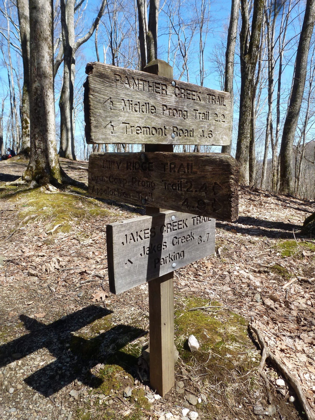
There is supposedly a "manway" that leads to Blanket Mountains that starts at Jakes Gap, but there was a college group stopped for lunch there and I decided not to bother them by looking for the unofficial trail. Jakes Gap was the highpoint of the hike. From that point on I would be traveling downhill. There were a few crossings of Panther Creek
on the Panther Creek Trail, but nothing too bad. That is, until I reached Lynn Camp Prong.
Lynn Camp Prong was deep, cold, and running fast. I could not find a way to cross where I could guarantee my feet would stay dry, so I took off my socks and shoes and waded across.
My feet were numb by the time I was half way across, but I made it without incident. From this point on all my hiking would be on roads.
The hike on the Middle Prong Trail was fast and easy.
The most time consuming part was the constant stopping to take photographs. First, there was a side trail to an interesting old, rusting car.
Then there were all the cascades on the river.
The Lynn Camp Cascades have to be some of the more impressive waterfalls in the Smokies.
My hike ended with a 3 mile road walk on the Upper Tremont Road
back to the Great Smoky Mountains Institute where I had parked my car. It was a good day hiking on relatively easy trails. however, even with the ease of hiking it was a long day. I'm glad to have been able to do it though!