Friday, October 12, 2018

Superior National Forest: North Dark River Trail

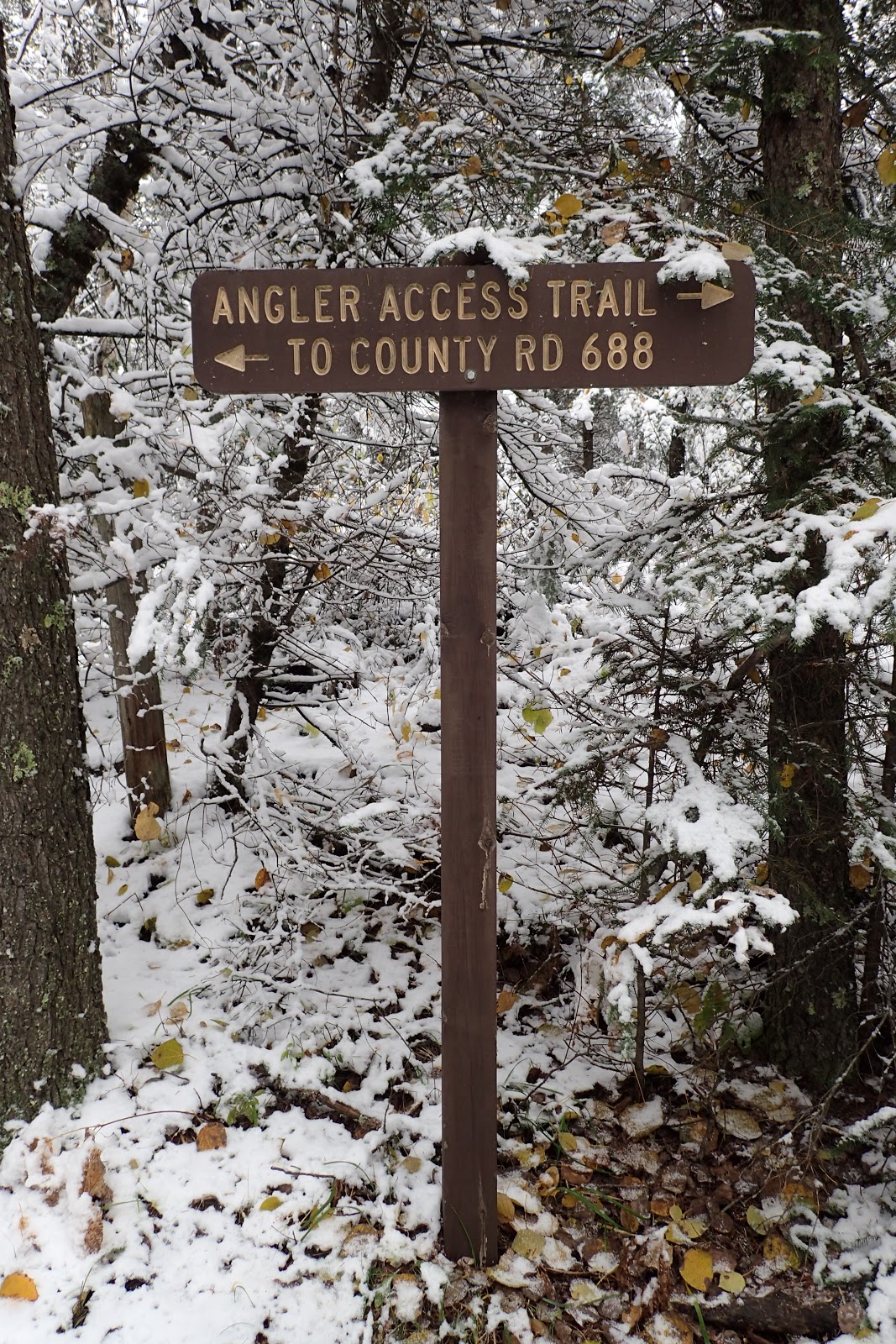
After my short hike on the Sturgeon River Trail today, I was in the mood for another short walk. I opted to hike the North Dark River Trail as last week Noelle, Sierra and I had hiked the South Dark River Trail. I crossed the Dark River on a bridge
and shortly thereafter found the parking lot and trailhead for the hike. It was a pleasant walk in the snowy woods along the edge of a small canyon carved out by the Dark River.
There were a few side trails that led down to the river
and lots of overlooks of the gorge through the trees.
I made my way to an old road and then made a left onto it to get back to the trailhead.

The road passed through a pine plantation on the way,
before leading me back to the start of the hike.
It was a short but interesting hike.

Superior National Forest: Sturgeon River Trail, South Loop

With an early winter settling in over the Northland, I wanted to get out for one more hike in the woods without snowshoes strapped to my feet. I decided to head down to the same area Noelle, Sierra and I had hiked last week to check out the Sturgeon River Trail. Today's forecast called for temperatures just above freezing and clearing skies, so I was a bit surprised to be driving in snow and freezing rain. In fact, I happened upon an accident where a van was being pulled out of the ditch.
I made it to the trailhead
without incident and hit the trail.
Sturgeon River Trail is a series of loops. I would be hiking the southernmost loop.
Immediately, it was evident just how quickly winter had overtaken fall. Colorful leaves littered the snowy trail surface.

Soon enough I found my first view of Jean Lake.
I would have intermittent views of the water throughout the middle portion of my hike. I also got some occasional views of beaver ponds
and other swampy areas, marked with the presence of tamarack trees
and alders.
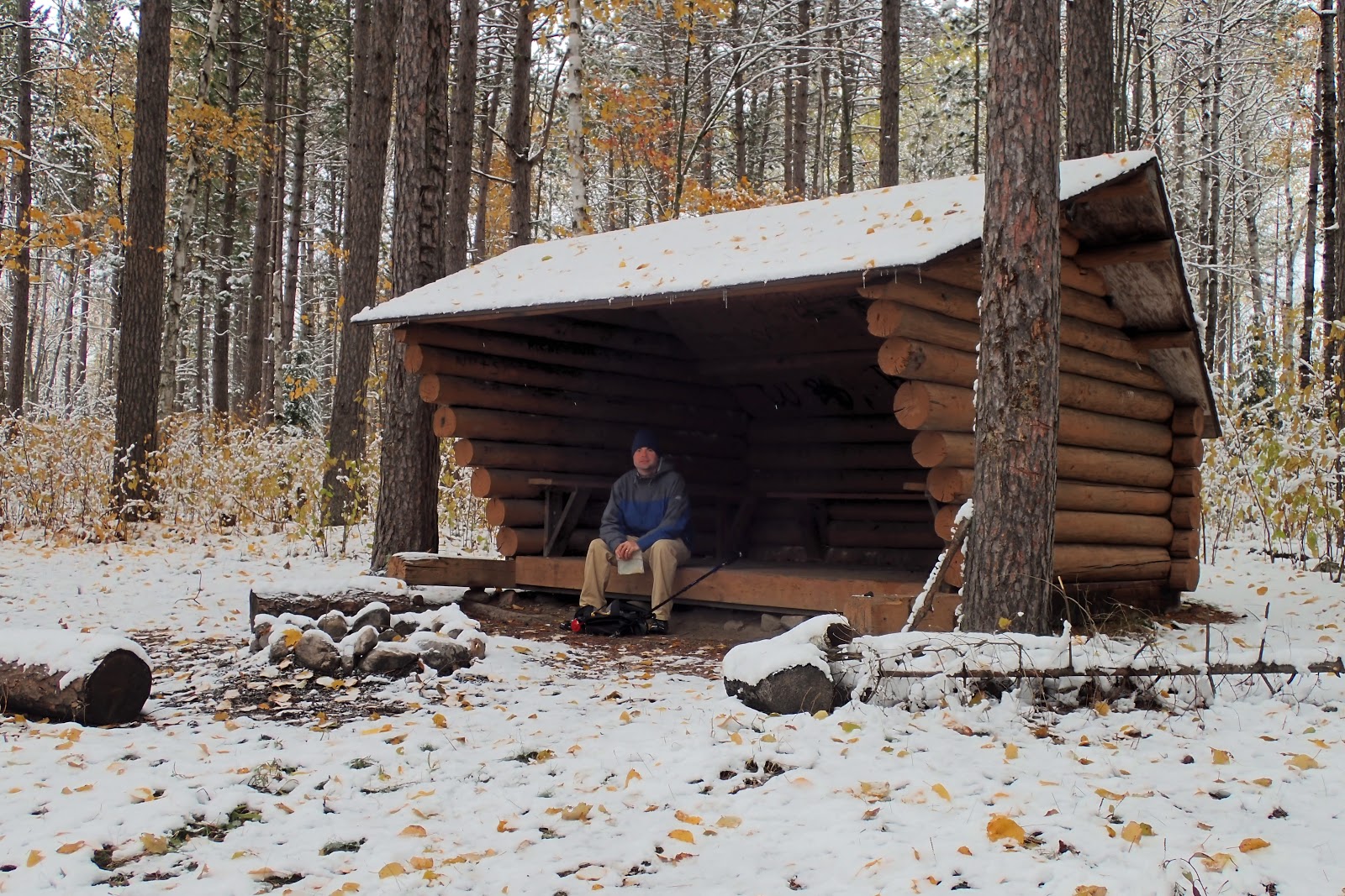
I passed some grouse hunters and soon after made my way to the Adirondack-style shelter
above the shores of Jean Lake.
I ate a snack there and then finished up my hike with a return to the car.

Saturday, October 6, 2018

Superior National Forest: South Dark River Trail

Today was a day for a family adventure. While it wasn't the nicest day weather-wise, we just had to get our of the house and do a little exploring. We opted to head south towards Chisholm and Hibbing, Minnesota to go for a hike and try the Boomtown Brewery.

The drive from Minnesota Highway 73 to the trailhead was probably the most adventurous part of the hike. The last 1 and 3/4 mile was on a two-track forest road that was very muddy from the recent rains. Still, the CR-V handled the drive well, though it did get quite a bit dirty. We hit the trail in wonderful fall colors.
North Central Minnesota is definitely at peak right now. There were lots of mushrooms on the ground

and we even saw a few patches of snow, here and there.
Sierra enjoyed looking for the most colorful leaves on the ground.
Soon the trail made its way to the edge of a small gorge formed by the Dark River.
We made our way along the trail, never too far from the water, though we didn't see it often due to the vegetation. Eventually, the trail made its way to an old road and wove its way through a red pine plantation.
Then we were back at the car for the next part of our journey. It was a quick drive through Chisholm and into Hibbing. We had a delicious meal at Boomtown and Noelle and I had a few beer as well. Then we drove over to Bob Dylan's boyhood home
and explored Carey Lake Park a bit before making our way back home.

Friday, September 28, 2018

Arapahoe National Forest: St. Mary's Glacier and Ascent of Peak 11716

Yesterday, after my training session had finished up for the day, I had some time to kill before meeting my friend Steve again. I opted to walk my way north to his town of Arvada from my hotel near the Federal Center in Lakewood. Not too big a deal, except I was toting around my roller suitcase and a few sections of my route lacked sidewalks. Anyway, I traveled mostly on Kipling Street and stopped for lunch at Large Marge's, an excellent Philly cheesesteak place. After lunch I started north on Kipling again, but soon noticed a paved trail entrance, the Regional Clear Creek Trail.

A glance at my phone showed the trail seemed to go in the direction I was headed, towards Olde Town Arvada, and so I walked the pleasant, shaded path along its namesake creek
 headed northeast towards Wadsworth Boulevard. All was well until I came to a construction zone at Wadsworth. Barriers and signs directed me under the wide road, but I wanted to reach the road. I ended up passing under it and then found a set of old stairs leading up to the road grade on the other side. That's when I found myself in a scary heroin encampment in the no-man's land between Wadsworth and Interstate 70. I got out of there as fast as I could and soon found myself in Olde Town Arvada. I was thirsty by this point, and so I stopped for a few beers at Grand Lake Brewing. Definitely not the best beers I've ever had, but the bartender was pleasant enough to talk to.

After my stop at Grand Lake, I still had some time to kill, and so I made my way over to the town square. It seemed to be populated mostly by homeless folks. Some of them even had suitcases and so I fit right in. I called Steve and he agreed to meet me at another brewery in town, New Image Brewing. We had some excellent beers there and got some food to go to take to Steve's house where we settled in for a relaxing night.

This morning we woke up and got a fairly early start for our trip into the mountains. We made our way out of the clouds and into the beautiful blue skies as we ascended. We drove through Idaho Springs and then up to the town of St. Mary, eventually finding the parking area for the trailhead. The trail itself wasn't really much of a trail.
 Instead it was some old, rocky roads and user paths winding their way up to the beautiful location of a lake and the St. Marys Glacier. I'm skeptical its actually a glacier. It looks to me more like a semi-permanent snowfield.

We enjoyed the scenery on our walk.

A lake near the glacier was very beautiful
 and ringed with gnarled bristlecone pines.
 We made our way around the lake to the approach to the snowfield.
 There was lots of melting going on,
even on this cool morning. At this point in the season the snowfield is actually split into two. There is the lower snowfield and a linger, skinnier upper one.
We traversed to the right side of the upper snowfield
and then decided we might as well climb to the top of a distant ridge.
It was not particularly difficult terrain, but I could feel the lack of oxygen in the air. I really enjoyed the alpine feel near the top of the ridge.
 At this point we needed to decide what our objective for the day would be. I suggested a low peak just southwest. We made our way quickly up to the summit which I later identified as Peak 11716.
After our break it was a steep descent back to the parking area.
The views looking back to the lake were tremendous.
 We even saw a few people skiing on the glacier.

After returning to the car we drove back into Idaho Springs for lunch at Westbound and Down Brewery. The feed and beer were excellent! We ended our day's adventure with a drive along the Peak to Peak Highway to Boulder where I got some souvenirs for the family back home.

Wednesday, September 26, 2018

Hayden Park: Green Mountain Trail

As I was walking back to my hotel from the day's training session, I noticed a grassy-looking peak rising above my hotel. I figured right then and there I would have to see if I could hike that peak. A quick search on my phone indicated that the peak is called Green Mountain and that it is located on Jefferson County open space lands. I went back to my room, changed, filled my water bottles and set out. It was a pretty long walk along Alameda Parkway, past fast food restaurants and suburban sprawl to the entrance
and parking lot for the Green Mountain Trail. I started to make my ascent.
The trail climbed and climbed
with lots of views down to the plains, sprawl and the skyscrapers of downtown Denver in the distance.
I noticed a few wildflowers
and yucca plants as I made my ascent. Soon enough I passed a communications tower and then made my way along a wide gravel road on a relatively flat plateau.
I found the actual summit and then made my way to a little, unofficial overlook where I relaxed and enjoyed the view.
I couldn't spend too much time relaxing though. The sun would be setting soon. I enjoyed watching the sun set behind the mountains
 and the clouds turn various shades of pink and orange as I made my way down the mountain.

Then it was a long slog back along Alameda Parkway back to the hotel in the dark. I made a side trip for some food before my return. It was a great way to spend an evening away from the family and I even got in a little workout.